Weather
No Snow? Blame the Puget Sound Convergence Zone
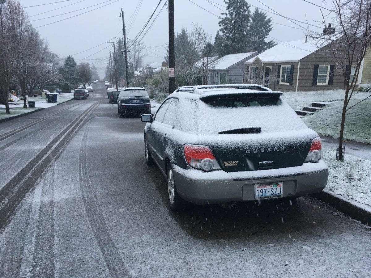
Forecasts Monday night predicted up to 3 inches overnight Monday - instead, all we got was some ice.

SEATTLE, WA - Depending on your outlook, you were either thankful for or extremely angry at the Puget Sound Convergence Zone Tuesday morning.
Areas north of the Greenwood neighborhood in Seattle were forecast to get up to 3 inches of snow overnight Monday, but no snow fell. The convergence zone failed to form, which kept precipitation much farther north of the area, the National Weather Service is saying. Instead, most people awoke Tuesday morning to icy roads, frosted car windows, and frigid temperatures in the low 30s.
There's still a chance for more snow this week, however. Temperatures are expected to remain at or below freezing overnight, with highs in the mid-30s during the day. There's a band of precipitation moving in Wednesday night that could begin as snow, but will likely turn to rain by daybreak Thursday.
Find out what's happening in Seattlefor free with the latest updates from Patch.
Good news for Tuesday: the sun will be out all day.
Read the Weather Channel forecast for snow in the Seattle area here.
Find out what's happening in Seattlefor free with the latest updates from Patch.
Get more local news delivered straight to your inbox. Sign up for free Patch newsletters and alerts.
