Weather
Second Round Of Snow Monday Night Could Bring 3 Inches
A Monday-morning snow event is over, but there's a second dose of snow predicted overnight.

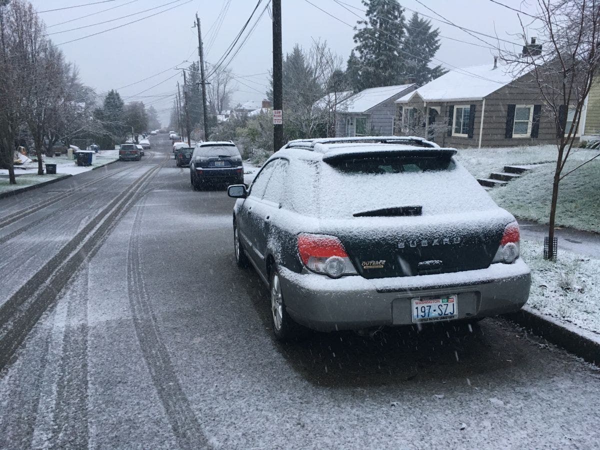
SEATTLE, WA - By mid-morning Monday, snow that had accumulated during a rush hour storm had mostly melted or been washed away by rain - but forecasts are predicting a second round of snow overnight.
The National Weather Service on Monday morning said that a second weather system will bring snow into the Puget Sound region late in the afternoon as temperatures begin to drop.
But just where that snow will fall, the weather service said, is uncertain.
Find out what's happening in Seattlefor free with the latest updates from Patch.
If a convergence zone forms over the region, some areas north of Seattle could see 1 to 3 inches overnight into Tuesday morning. It's also possible that the convergence zone could fall farther south, delivering more snow around Seattle.
Either way, forecasters are warning that low temperatures can cause black ice, creating dangerous driving conditions.
Find out what's happening in Seattlefor free with the latest updates from Patch.
The Monday event brought heavy, wet snow to parts of the region, mainly south and west of Seattle. In Skyway Monday morning, snow accumulated quickly and caused treacherous driving conditions. Meanwhile in Woodinville, the city reported no snow at all.
No Snow in #Woodinville - roads are clear. That means you can join us tonight at @HaggenFood at 6pm for the #DeYoung Park Redesign Workshop!
— City of Woodinville (@woodinvillecity) December 5, 2016
The National Weather Service on Monday also warned of another storm system expected to hit the region on Thursday. The weather service said that system could bring "significant accumulation."
Image of Rainier Beach in Seattle Monday morning
Get more local news delivered straight to your inbox. Sign up for free Patch newsletters and alerts.
