Weather
Some Smoke May Return To Puget Sound, But Most Should Stay Aloft
A shift in the winds is likely to pull in wildfire smoke from British Columbia, but forecasters expect minimal impacts on the ground.

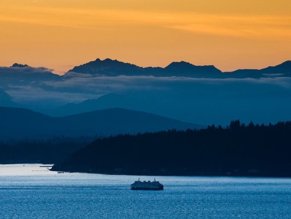
SEATTLE — Wildfire smoke from fires burning in British Columbia is likely to return to Puget Sound this week, but forecasters and air quality experts expect most of it will stay overhead. The latest forecasts also include the potential for more rain showers Friday and lasting into the weekend.
Writing Monday on the Washington Smoke Blog, officials said shifting winds were likely to bring in smoke by Wednesday, but there was some uncertainty in the specifics.
"This could push a lot of the BC smoke our way," wrote Larry Altose, with the Washington State Department of Ecology. "It's unclear how much smoke will be generated and mixed down to the surface. Our forecasting models disagree so far, but we hope to bring that into better focus over the next two days."
Find out what's happening in Seattlefor free with the latest updates from Patch.
By Tuesday afternoon, forecasters were more confident that any smoke would stay at high elevations, and the Puget Sound Clean Air Agency projected good air quality persisting through Friday.
"It's possible we may see smoky/hazy skies once again from wildfires in B.C.," NWS Seattle wrote Tuesday. "It does appear any smoke, at this time, will be mainly aloft and not impact our air quality. But we'll definitely keep an eye on this and lean toward our air quality experts for guidance."
Find out what's happening in Seattlefor free with the latest updates from Patch.
Looking at the state's long-term air quality forecasts, there appeared to be some chance for ground-level impacts in Puget Sound on Friday. Forecasters will continue to update the outlook each day as conditions evolve.
On the temperature front, Wednesday and Thursday are expected to see afternoon highs a few degrees warmer than recent days, with plenty of sunshine and highs in the upper 70s. Temperatures should cool again by Friday and remain below average through the weekend.
"On Friday, an upper level disturbance in the flow will track down and through western WA for another round of showers," NWS Seattle wrote. "There is also a slight chance of thunderstorms in the Cascades where instability is the greatest. The cooler air mass will hold temperatures down with highs only in the 60s to lower 70s."
For the lowlands, any rain showers are expected to be light.
For Seattle number of days with measurable rain. Jan 1 to Feb 28...39 days Mar 1 to present...39 days Seattle rainfall totals Jan 1 to Feb 28th...13.43" ( 3.89" above normal ) Mar 1 to present... 6.75" ( 4.94" below normal ) Cooler next 7 days. Chance of showers at times. #wawx pic.twitter.com/q2PcxXBZXF
— NWS Seattle (@NWSSeattle) August 17, 2021
Smoke and air quality resources:
Get more local news delivered straight to your inbox. Sign up for free Patch newsletters and alerts.
