Weather
Thursday Snowstorm: 5 Things To Know
The most important items from the most recent forecasts for snow in the Seattle area.

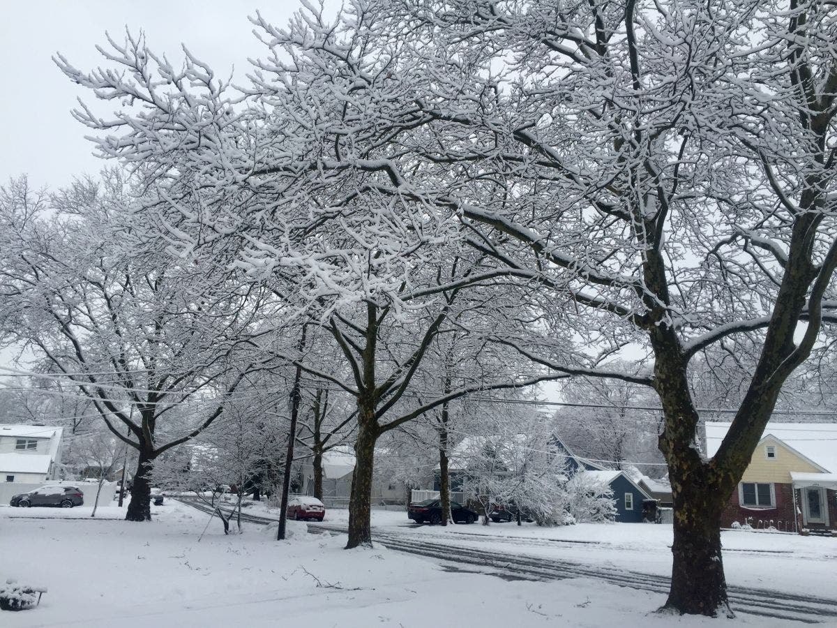
SEATTLE, WA - All local forecasts are pointing to some accumulation of snow Thursday night into Friday, somewhere in the range of 1 to 3 inches. But your snow experience will vary greatly depending on where you live. The south part of Puget Sound near Olympia will see snow first, the Hood Canal area could see up to 6 inches of snow, and areas in the Cascade foothills might not see much snow at all due to dry winds.
Here are five key things to know about what forecasts are saying:
- Timing. Right now, forecasts show that the storm is poised to move into the Seattle area around 7 p.m. That's good news because earlier forecasts saw the storm hitting in the early afternoon, just in time to mess up school, work, and the evening rush hour.
- Rain. When will the snow turn to rain? That depends on how long it takes this storm system to push cold air out of the Puget Sound region. The turn to rain should happen overnight Thursday, which might help melt snow before the Friday morning commute.
- More Snow. We'll see more 1 to 3 inches if that transition to rain doesn't happen quickly.
- Wind. This storm may bring some serious winds. Areas east of Seattle got a dose of high winds on Wednesday night. Places like North Bend and Enumclaw could see more wind Thursday night.
- Freezing Rain. There may be isolated pockets of freezing rain, particularly in south Puget Sound and along the I-90 corridor.
For more detailed forecasts, check the National Weather Service page for the Puget Sound area.
Find out what's happening in Seattlefor free with the latest updates from Patch.
Image via Patch.com
Get more local news delivered straight to your inbox. Sign up for free Patch newsletters and alerts.
