Weather
Snow Falling In Puget Sound Region, Travel and School Delays Possible
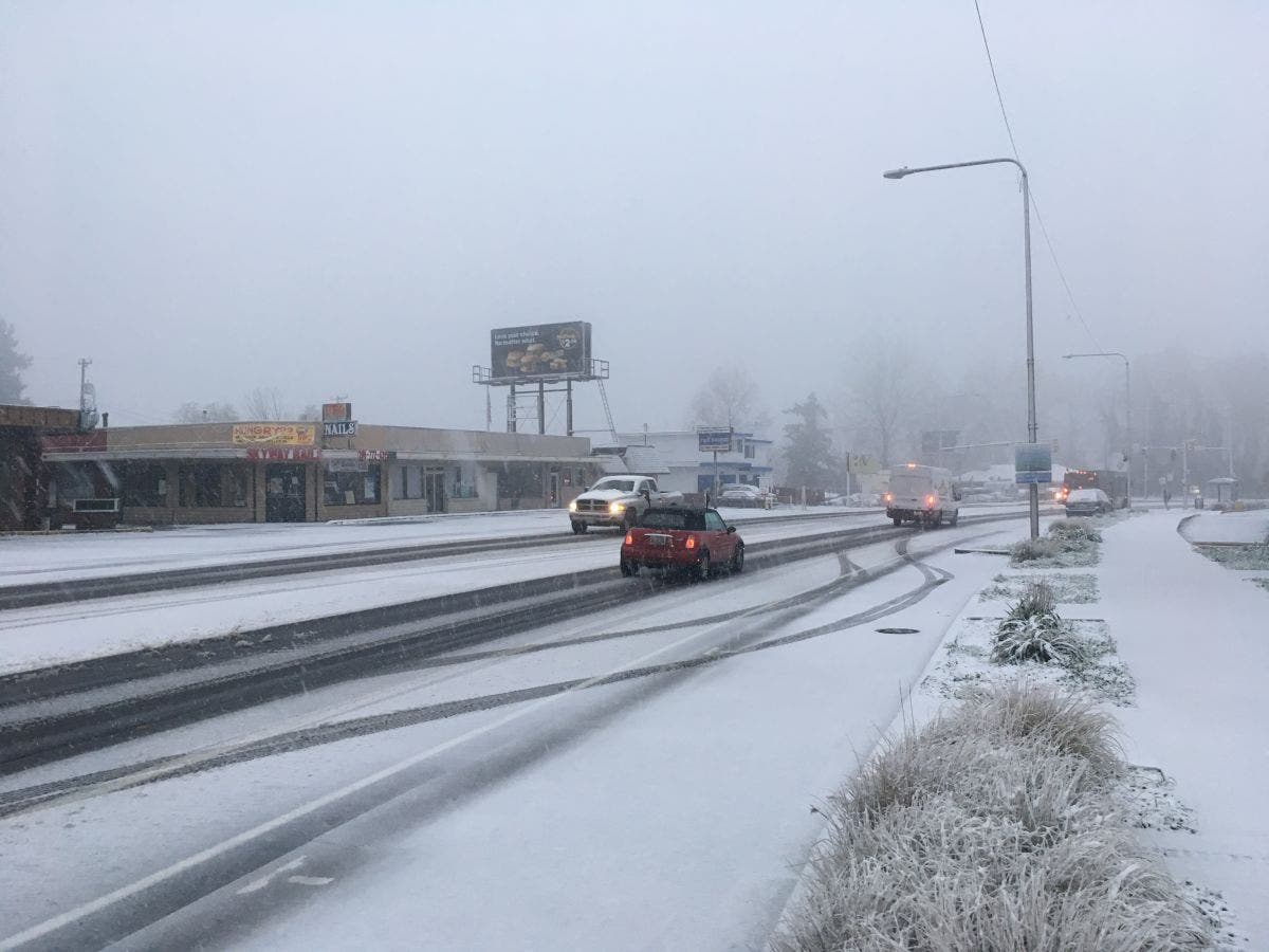
The snow was falling at or near sea level early Monday morning.


SEATTLE, WA - Snow began falling early Monday morning and had started to intensify near 7 a.m., although the snow was not sticking to the ground in many areas.
Moderate to heavy wet snow coming down at @SeaTacAirport. @knkxfm #snowydrive pic.twitter.com/5Cuw0ekFzz
— Dan Miller (@danmiller3) December 5, 2016
No local school districts had delayed or canceled school near 7:30 a.m. Some public transportation routes had been cancelled - the 43 and 56 Metro routes scheduled to depart at 7:35, and the 6:06 Sounder from Tacoma to Seattle was delayed - but it was unclear if that was due to the weather.
Drive times between Seattle and other cities were high near 7:30 - 80 minutes from Federal Way to Seattle, 70 minutes from Everett to Seattle.
Find out what's happening in Seattlefor free with the latest updates from Patch.
By the time this weather system moves through, some areas, especially at higher elevations above 500 feet, could see up to 2 inches of snow. The National Weather Service issued a winter weather advisory for the region on Sunday.
On Monday morning, the south Puget Sound area around Olympia appeared to have the most snow accumulation. Many school districts in that area had delayed school start times. The Mary M. Knight School District in Elma on the Olympic Peninsula was the only district to cancel school entirely.
Find out what's happening in Seattlefor free with the latest updates from Patch.
The weather service reported Monday morning that the last time the region saw snow in excess of 1 inch in the first week of December was 2007.
Since records started in 1890's in Seattle number of 1" plus snow days during the 1st week of December...11. Last one 12/1/2007 1.1".#wawx
— NWS Seattle (@NWSSeattle) December 5, 2016
Image via Shutterstock
Get more local news delivered straight to your inbox. Sign up for free Patch newsletters and alerts.
