Community Corner
CONTRIBUTE/POLL: Brace for a Winter Storm Overnight, NWS Warns
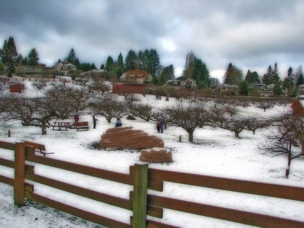
The National Weather Service has issued a winter storm warning, and it predicts Pierce County will receive 6 inches to 14 inches of snow after midnight Wednesday. Patch hopes users will share their pictures of the snow.


UPDATE: 5:32 p.m., 1/17/12
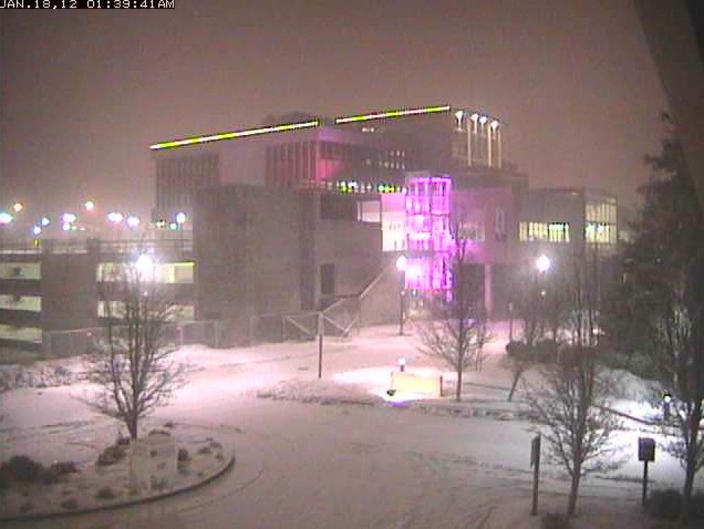
The National Weather Service (NWS) is predicting a widespread snowstorm in western Washington from midnight on Wednesday throughout the day. The NWS is warning that Pierce County can expect up to 14 inches of snow over the next 24 hours.
One of the top priorities is to keep the roadways clear for the safety of the public. It is strongly encouraged for people to limit any unnecessary travel until the storm abates and roads can be returned to normal operation. Pierce County Public Works and Utilities has been working all weekend, and will continue to work through the next several days, to prioritize snow removal and sanding of the main arterials. It is possible that many secondary and residential streets may be rendered impassable for a period of time. If the weather occurs as currently forecast, secondary roads may not be addressed until Thursday or later.
Pierce County Emergency Management will open its Emergency Operation Center at 3:30 a.m. to help coordinate the storm response and offers some tips on staying safe and warm as the snow piles up.
Winter weather driving tips:
Find out what's happening in University Placefor free with the latest updates from Patch.
- Include the following in your vehicle emergency kit: extra change of clothes and shoes; food; water; ice scraper; tire chains; snow shovel; flashlight and extra batteries; road flares; first aid kit; whistle; warm blanket; emergency contact card; jumper cables; and reflective or flashing lights.
- Check weather forecast before you leave your house. Consider postponing your trip.
- Clear snow and ice from car surfaces before driving. Snow on the hood can blow toward the windshield and block your view.
- Keep gas tank at least half full.
- Defrost windows and mirrors before leaving. Keep air conditioning on to prevent fogging.
- Use low beams for more visibility.
- Leave 8-10 seconds room when following a car. It takes longer to stop on wet and icy roads.
- Avoid unnecessary lane changes.
- Attempt to steer your way around an obstacle rather than braking.
- If you must abandon your vehicle, pull as far off the road as you can to avoid blocking other vehicles.
- If you must exit your vehicle, use reflectors such as reflective tape or flashing lights to increase your visibility to other drivers.
- If you are stuck in the snow, straighten wheels and accelerate slowly to avoid spinning the tires.
Preventing Carbon Monoxide Poisoning:
- DO NOT operate gasoline powered machinery such as a generator indoors, including in a garage.
- DO NOT place generators near an open window or near a neighbor’s window.
- DO NOT warm up your vehicle by idling the engine inside an attached garage.
- DO NOT cook or heat with charcoal barbeques inside your home or garage.
- DO NOT use “space heaters” unless there is an exhaust vent and never around combustible materials.
- DO NOT use a gas oven to heat your home.
- DO NOT burn anything in a stove or fireplace that is not vented.
- DO follow the manufacturer’s instructions for using generators, space heaters and grills.
- DO make sure flues and vents are kept clear of debris that may be blown by the wind.
- DO have your furnace, fireplace or wood stove inspected by a professional every year.
- DO install carbon monoxide alarms in your home.
Staying warm:
Find out what's happening in University Placefor free with the latest updates from Patch.
- Wear several layers of light weight, warm clothing rather than one layer of heavy clothing.
- Watch for signs of frostbite and hypothermia: slurred speech, confusion, uncontrollable shivering, stumbling, drowsiness, and body temperature of 95° F or less. Get medical help immediately if you think someone has frostbite or hypothermia.
- Get out of wet clothes immediately and warm up with a blanket or warm fluids like hot herbal tea or soup. Avoid caffeinated or alcoholic beverages if you think you or someone you are trying to help has hypothermia or frostbite.
- Keep your heat on in your house (including the attic) to prevent pipes from freezing. If you will be away from your home, leave water dripping from your faucet and open cupboards to let the heat warm the pipes.
(From Sheri Badger, spokeswoman for Pierce County Emergency Operations Center)
---
UPDATE: 3:30 p.m., 1/17/12
I just received the following message from Pierce County:
The National Weather Service has issued a Winter Storm Warning for all of Western Washington. Pierce County can expect to receive 6 to 14 inches of snow on Wednesday beginning after midnight. Emergency Management is urging residents and businesses to take the time to prepare homes and vehicles for the upcoming snow storm. For more information on how to prepare, visitwww.piercecountywa.gov/prepare.
---
UPDATE: 10:30 a.m., 1/16/12
Well, the snow obviously came, and according to the National Weather Service, it's expected to stick around through Wednesday.
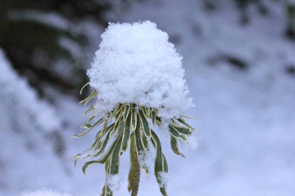
With today being a holdiay, we won't worry about the commute right now. Instead, we're asking the community to show off its pictures.
Check out the media gallery and you'll see that user David Nogle shared a great pic, "A snowy salute to veterans." Thanks for that Dave.
Any other pictures out there?
---
On Friday, the National Weather Service predicted a 50-percent chance of snow for Western Washington by Sunday.
---
In case you haven't heard, Western Washington might see some white stuff this weekend.
The National Weather Service predicts a chance of snow between Saturday night and Monday night, the Martin Luther King Holiday:
A STRONG COLD FRONT IS FORECAST TO MOVE THROUGH WESTERN WASHINGTON SATURDAY AFTERNOON...USHERING IN A COLDER AIR MASS WHICH WILL LINGER INTO NEXT WEEK.
THE AIR MASS IS EXPECTED TO BE COLD ENOUGH SO THAT SNOW LEVELS WILL BE AT OR NEAR SEA-LEVEL BEGINNING SATURDAY EVENING.
HIT AND MISS SHOWERS WILL DEVELOP WITH A THREAT OF A CONVERGENCE ZONE SETTING UP...ESPECIALLY FROM SNOHOMISH COUNTY NORTHWARD SATURDAY NIGHT AND SUNDAY. THIS MEANS THERE IS A THREAT OF SOME SNOW ACCUMULATIONS OVER PORTIONS OF THE LOWLANDS.
AT THIS TIME...PREDICTING WHERE AND HOW MUCH SNOW WILL FALL THIS WEEKEND IS DIFFICULT BUT ACCUMULATIONS ARE MOST LIKELY UNDER THE CONVERGENCE ZONE AND WITH HEAVIER SHOWERS.
For us Puget Sounders, any word of snow coming to region produces mixed reactions. Some people love it. Some hate it. Others are somewhere in the middle.
Take our poll and tell us where you fall, Patch users.
Get more local news delivered straight to your inbox. Sign up for free Patch newsletters and alerts.