Weather
6 to 9 Inches Snow Forecast Tuesday into Wednesday
Total snowfall of 6 to 9 inches is possible in the warning area, with 3 to 5 inches in the advisory area.


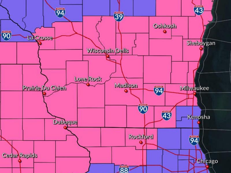
WISCONSIN -- A Winter Storm Warning is in effect from 9 a.m. through Tuesday night for much of the area except for Racine and Kenosha counties where a Winter Weather Advisory is in effect.
Total snowfall of 6 to 9 inches is possible in the warning area, with 3 to 5 inches in the advisory area. The Wednesday morning commute will be impacted.
Timing:
Find out what's happening in Brookfieldfor free with the latest updates from Patch.
Tonight
Snow. Low around 26. South wind 5 to 10 miles per hour becoming north after midnight. Chance of precipitation is 100 percent. New snow accumulation of 2 to 4 inches possible.
Wednesday
Snow and freezing rain before 11 a.m., then a chance of snow between 11 a.m. and noon. High near 26. Northwest wind 10 to 15 miles per hour, with gusts as high as 25 miles per hour Chance of precipitation is 100 percent. Little or no ice accumulation expected. New snow accumulation of around an inch possible.
Find out what's happening in Brookfieldfor free with the latest updates from Patch.
Snow will likely develop Tuesday morning and become widespread this afternoon into tonight. A period of some freezing rain is possible in parts of the far south with ice accumulations generally under a tenth of an inch. The evening commute will be impacted.
The Winter Storm Warning and Winter Weather Advisory will remain in effect until noon on Wednesday.
Very cold conditions are expected later in the week. Bitter cold wind chill readings of 20 to 30 below zero are expected Thursday night and Friday night and 15 to 20 below zero Saturday night. Wind chills during the day Friday may struggle to get above 10 to 15 below zero.
NOAA Sullivan Graphics
Get more local news delivered straight to your inbox. Sign up for free Patch newsletters and alerts.