Weather
3 to 7 Inches of Snow Expected; Bad Weather Starts Tuesday Night
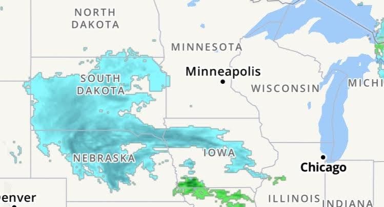
The National Weather Service has issued a hazardous weather outlook for Wisconsin for Tuesday night into Wednesday.

WISCONSIN — Before too long, it will be time to retire that fall jacket and break out the snow shovel again.
The National Weather Service has issued a hazardous weather outlook for Wisconsin for Tuesday night into Wednesday as a wintry mix of rain and snow moves into the area.
Late Tuesday
Find out what's happening in Greenfieldfor free with the latest updates from Patch.
According to the National Weather Service, the wintry mix will develop over southern Wisconsin late Tuesday afternoon and evening and change to snow over most of south central into east central Wisconsin.
Wednesday
Find out what's happening in Greenfieldfor free with the latest updates from Patch.
The wintry mix or rain, sleet and snow will change back to periods of light snow on Wednesday and Wednesday evening. There is also a small chance for light freezing drizzle Wednesday night as the low pressure area exits the area. Snowfall totals will range from 3 to 7 inches across most of south central into east central Wisconsin, with lesser amounts in the far southeast.
>>> image via NOAA
Get more local news delivered straight to your inbox. Sign up for free Patch newsletters and alerts.