Weather
Severe Thunderstorm Watch Until 8 P.M. Today
The National Weather Service has issued a Severe Thunderstorm Watch for Southeastern Wisconsin through 8 p.m. Wednesday.

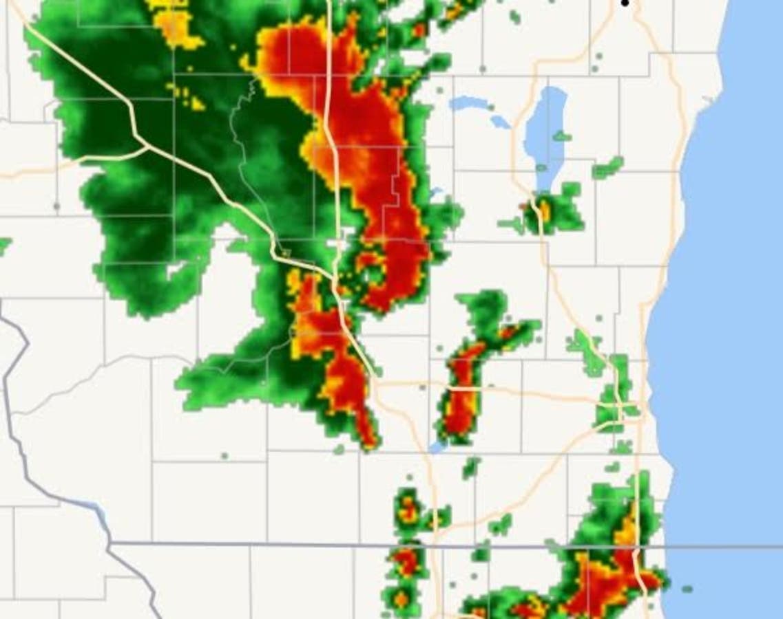
The National Weather Service has issued a Severe Thunderstorm Watch for Southeastern Wisconsin through 8 p.m. Wednesday as a bank of heavy storms moves through our area.
According to the NWS, scattered thunderstorms are expected across all of southern Wisconsin this afternoon through early evening. Some thunderstorms will be severe and produce damaging winds and large hail.
A severe hunderstorm watch is in effect. Heat indices in the low to mid 90s are expected today.
There is a moderate swim risk for beaches from Racine northward to Sheboygan.
Find out what's happening in Greenfieldfor free with the latest updates from Patch.
WISCONSIN COUNTIES INCLUDED ARE
ADAMS BROWN CALUMET
COLUMBIA CRAWFORD DANE
DODGE DOOR FLORENCE
FOND DU LAC FOREST GRANT
GREEN GREEN LAKE IOWA
JEFFERSON JUNEAU KENOSHA
KEWAUNEE LAFAYETTE LANGLADE
LINCOLN MANITOWOC MARATHON
MARINETTE MARQUETTE MENOMINEE
MILWAUKEE MONROE OCONTO
OUTAGAMIE OZAUKEE PORTAGE
RACINE RICHLAND ROCK
SAUK SHAWANO SHEBOYGAN
VERNON WALWORTH WASHINGTON
WAUKESHA WAUPACA WAUSHARA
WINNEBAGO WOOD
Find out what's happening in Greenfieldfor free with the latest updates from Patch.
nws image
Get more local news delivered straight to your inbox. Sign up for free Patch newsletters and alerts.