Weather
Thunderstorms Today Bring Marginal Risk for Severe Weather
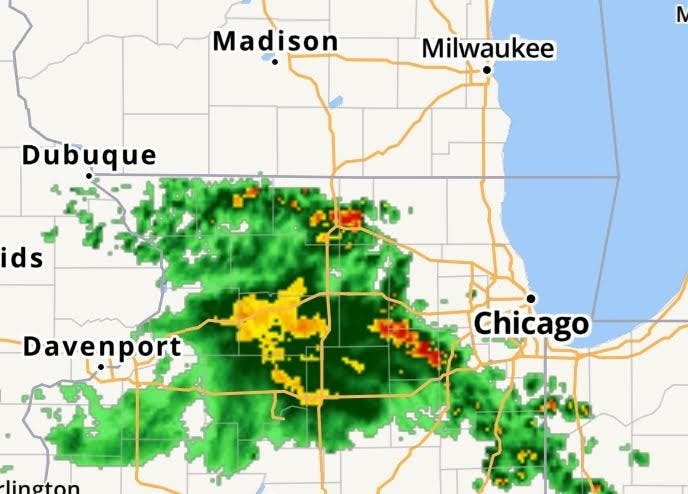
The primary threats will be damaging winds and large hail, however there is a low risk of a tornado, mainly southwest of Madison.

GREENFIELD, WI — According to the National Weather Service, residents in southeastern Wisconsin will likely see storms today, and are subject to a slight risk of damaging winds and large hail, and a low risk of a tornado, mainly southwest of Madison.
This Hazardous Weather Outlook is for portions of east central Wisconsin, south central Wisconsin, and southeast Wisconsin.
This Afternoon and Tonight
Find out what's happening in Greenfieldfor free with the latest updates from Patch.
There is a Slight Risk of severe thunderstorms across much of south central Wisconsin mainly along and southwest of a line from the Dells to Janesville. There is a Marginal Risk for the rest of southern Wisconsin.
The primary threats will be damaging winds and large hail, however there is a low risk of a tornado, mainly
southwest of Madison. The greatest threat of severe weather will be overnight mainly between 10 PM and 4 AM.
Find out what's happening in Greenfieldfor free with the latest updates from Patch.
Thursday through Tuesday
There is a chance for a thunderstorm across far southeast Wisconsin early Thursday morning.
Another inch of rainfall tonight will cause some rivers to rise to minor flood stage for the second half of the week.
image via NOAA
Get more local news delivered straight to your inbox. Sign up for free Patch newsletters and alerts.