Weather
High Wind Warning In Pass Area: Wind Advisories In RivCo
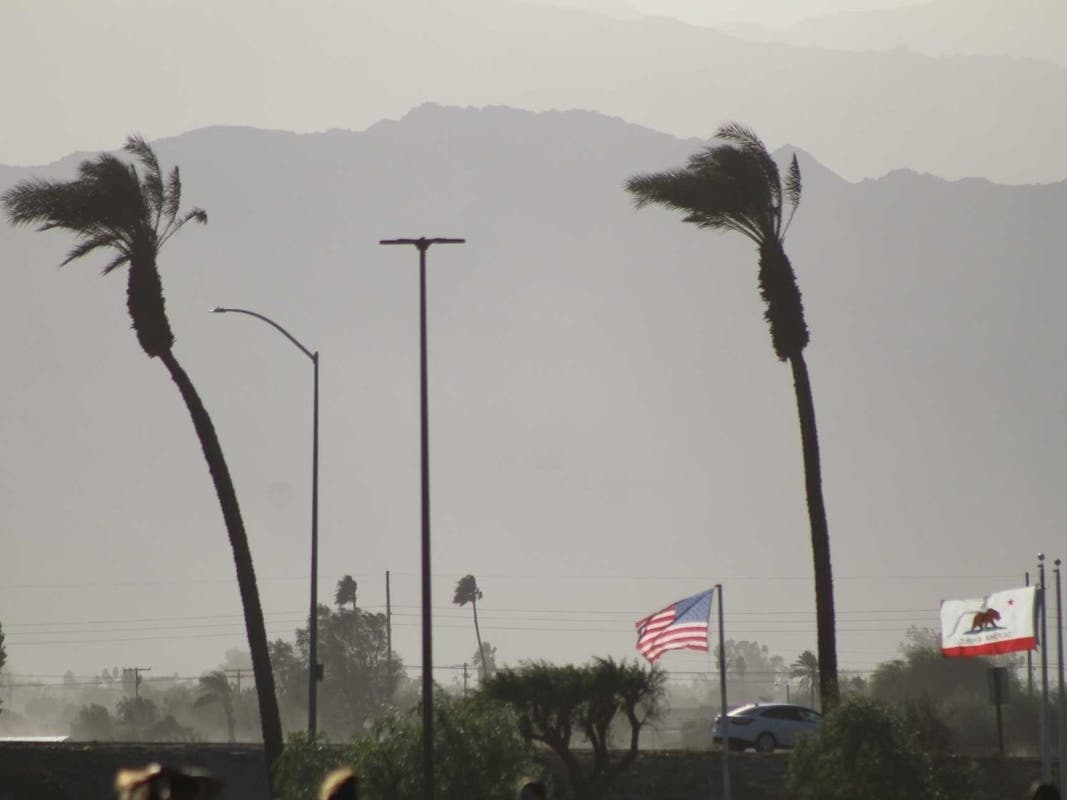
Batten down the hatches, Banning, Beaumont and Pass Area residents. High winds return overnight through Thursday as another storm blows in.

BANNING, CA — Pass Area residents were warned of High Wind Warnings issued for the Riverside County mountains through Thursday, according to the National Weather Service.
According to the National Weather Service, the high wind warning will be in effect from 6 p.m. Wednesday through 10 a.m. Thursday, with the strongest winds roaring through the San Gorgonio Pass near Banning and Idyllwild-Pine Valley. West winds from 30 to 40 mph with gusts up to 70 mph are expected in those areas, according to meteorologists.
Strong winds can damage trees and create difficult driving conditions.
Find out what's happening in Banning-Beaumontfor free with the latest updates from Patch.
The NWS recommends avoiding forested areas and being around trees and branches.
A wind advisory is in effect for the Coachella Valley from 6 p.m. Wednesday until 10 a.m. Thursday for the cities of Indio, Palm Springs, Cathedral City, Palm Desert, La Quinta, Coachella and Borrego Springs.
Find out what's happening in Banning-Beaumontfor free with the latest updates from Patch.
The wind advisory has also been issued for Southwest Riverside County valleys and Inland Empire communities from 8 a.m. Wednesday to 2 p.m. North winds were expected to blow sustained between 15 and 25 mph, with gusts up to 40 mph, the NWS said.
Wednesday
Sunny, with a high near 53. West wind around 20 mph, with gusts as high as 30 mph.
Wednesday night
A chance of showers after 10pm. Partly cloudy, with a low around 40. Breezy, with a southwest wind 20 to 25 mph, with gusts as high as 35 mph. Chance of precipitation is 40%. New precipitation amounts of less than a tenth of an inch possible.
Thursday
A chance of showers before 10am. Sunny, with a high near 51. East wind 10 to 15 mph becoming east 15 to 20 mph in the morning. Winds could gust as high as 35 mph. Chance of precipitation is 30%. New precipitation amounts of less than a tenth of an inch possible.
Thursday Night
Patchy frost after 11pm. Otherwise, mostly clear, with a low around 36. Southeast wind 5 to 10 mph becoming west after midnight.
Friday
Patchy frost before 9am. Otherwise, sunny, with a high near 56. Southwest wind 5 to 10 mph becoming east in the morning. Winds could gust as high as 20 mph.
Friday Night
Mostly clear, with a low around 40.
Saturday
Sunny, with a high near 61.
Saturday Night
A slight chance of showers after 10pm. Partly cloudy, with a low around 44.
Sunday
A slight chance of showers before 10am. Mostly sunny, with a high near 60.
Sunday Night
Mostly clear, with a low around 44.
M.L.King Day
Sunny, with a high near 62.
Monday Night
Partly cloudy, with a low around 45.
Tuesday
Mostly sunny, with a high near 62.
Get more local news delivered straight to your inbox. Sign up for free Patch newsletters and alerts.