Health & Fitness
'Unhealthy' Air Quality In Banning Pass: Smoke Advisory Issued By Air Quality Management District
The advisory was issued Tuesday.
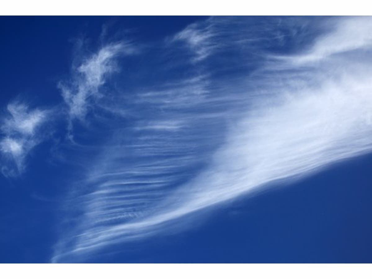
BANNING-BEAUMONT, CA - From the South Coast Air Quality Management District: A brush fire, named the Mias Fire, is burning in Riverside County, in the Banning Pass. The burn area this morning was estimated to be 540 acres, with 5% containment. Winds are expected to be from the west, with smoke impacts locally near the fire and moving into the Coachella Valley. Air quality may reach Unhealthy levels in areas directly impacted by smoke.
Areas of direct smoke impacts and Unhealthy air quality will likely include portions of:
- the Banning Pass Area (Forecast Area 29) and
- the Coachella Valley (Forecast Area 30).
SEE ALSO: Mias Fire Day 2: Hundreds Fighting Banning Blaze Sparked (Indirectly) By Bees
Find out what's happening in Banning-Beaumontfor free with the latest updates from Patch.
In any area impacted by smoke: Everyone should avoid any vigorous outdoor or indoor exertion; people with respiratory or heart disease, older adults, and children should remain indoors. Keep windows and doors closed or seek alternate shelter. Run your air conditioner if you have one and keep the fresh air intake closed and the filter clean to prevent bringing additional smoke inside. Avoid using a swamp cooler or whole-house fan to prevent bringing additional smoke inside. To avoid worsening the health effects of smoke, don’t use indoor or outdoor wood-burning appliances, including fireplaces.
SCAQMD Advisory updates can be found at the following link: ftp://ftp.aqmd.gov/pub/globalist/Advisory.pdf
Find out what's happening in Banning-Beaumontfor free with the latest updates from Patch.
- To subscribe to air quality alerts, advisories and forecasts by email, go to http://AirAlerts.org
- To view current air quality conditions by region in an interactive map, see http://www3.aqmd.gov/webappl/gisaqi2/home.aspx
- For a map of SCAQMD Forecast Areas, seehttp://www.aqmd.gov/docs/default-source/default-document-library/map-of-monitoring-areas.pdf
Image via Pixabay