Weather
Brr! Alaskan Cold Front To Chill LA, Blanket Mountains In Snow
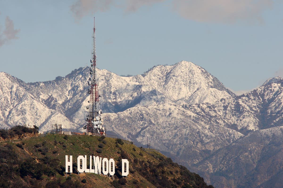
As heavy rain hits LA, a cold front from Alaska will drop temperatures, bringing snow to the mountains and The Grapevine: BREAKING.
LOS ANGELES, CA — Light rain fell on the Southland Monday in advance of an anticipated stronger storm expected to soak the region and raise the risk of mudslides in recent wildfire areas, prompting authorities to issue mandatory evacuation orders for select neighborhoods.
Around midday, the Los Angeles County Sheriff's Department imposed mandatory evacuations in the Kagel Canyon, Lopez Canyon and Little Tujunga Canyon areas, all near the area of the recent Creek Fire. It was not immediately clear how many residents were affected by the order.
An evacuation center was established at Sun Valley Recreation Center, 8133 Vineland Ave. An evacuation center for large animals was opened at Pierce College, 6201 Winnetka Ave. in Woodland Hills.
Find out what's happening in Hollywoodfor free with the latest updates from Patch.
Duarte city officials issued mandatory evacuation orders for about 180 homes near the Fish Fire burn area, beginning at 7 p.m., and a series of streets in that area were closed. Classes were canceled for Tuesday at Valley View Elementary School.
An evacuation center for Duarte residents was established at the Duarte Community Center, 1600 Huntington Drive.
Find out what's happening in Hollywoodfor free with the latest updates from Patch.
Sandbags were being offered to residents at fire stations across the region to help them protect their homes from flooding.
Burbank city officials said voluntary evacuations were being advised on a series of streets near the La Tuna Fire burn area, and an evacuation center was established at McCambridge Recreation Center, 1515 Glenoaks Blvd.
Monday morning's rain created a wet commute in some areas. About a quarter-inch of rain was expected to fall on flatland areas, and up to an inch in mountain areas by sunset, according to the National Weather Service.
The storm will be a potent snowmaker, according to the NWS, which issued winter storm warnings in the mountains above 4,000 feet.
Snow was expected to fall above 8,000 feet Monday, then drop to 6,000 feet by Tuesday afternoon and 4,000 feet by Tuesday evening, as a vigorous cold front arrives from the Gulf of Alaska and collides with the wet warm front already in Southern California.
Blizzard conditions are possible on Interstate 5 over The Grapevine on Tuesday.
Weather service computer models indicate Monday's preliminary warm storm and bigger cold storm on Tuesday will both be wetter than first thought. A flash flood watch will be in effect beginning at 10 p.m. and continuing through Tuesday night in most of the Southland.
"While the recent burn areas are most threatened and should be emphasized, flash flooding is possible nearly anywhere in Santa Barbara, Ventura and Los Angeles counties," according to the NWS.
"A cold front will interact with a plume of subtropical moisture and will bring a period of widespread moderate to heavy rainfall to the region tonight through Tuesday," according to the NWS. "Behind the front, scattered showers and isolated thunderstorms will continue through Tuesday evening. Rainfall rates between one half and one inch per hour are possible during the peak of the storm. Such rain rates are capable of producing flash flooding. Recent burn areas will be especially vulnerable where dangerous mud and debris flows are possible."
Wind is also expected to be a major issue. Winds of up to 60 mph could hit Malibu, the Grapevine, Castaic and the Antelope Valley Monday.
In the flatlands on Tuesday, some south-facing slopes are forecast to receive five to six inches of rain over the course of a few hours.
The storms come after a 10-month dry spell in the Southland following torrential rains in January and February of last year. In 2017, downtown Los Angeles experienced its driest March 1 through Dec. 31 since 1878, with only 0.69 of an inch of rainfall, according to the NWS.
NWS Meteorologist Joe Sirad told City News Service the flatlands of Los Angeles County will get the most rain since last Feb. 17, when downtown got 2.01 inches.
"Our confidence is quite high," Sirad said of computer models.
The expected moisture region-wide will be welcome news for a majority of residents, but not those who live in the Creek, La Tuna, Rye and Skirball burn areas, where there is a "strong potential for mud and debris flows," Sirad said. "People in burn areas need to take protective measures and listen for evacuation messages."
It also could result in urban street and underpass, flooding making for a "rainy, windy commute" on Tuesday, he said.
An offshore flow is forecast to return late Wednesday with warmer temperatures, dry air, low humidity and gusty winds through Sunday.
Saturday could bring sunny skies and highs above 80.
More rain may arrive around the following Monday, Jan. 15, Sirad said.
City News Service; Photo: (Photo by David McNew/Getty Images)