Crime & Safety
San Clemente Fire Map: See Norte Fire Perimeter, Evacuation Areas
Reports from the scene indicated at least eight structures were burned as the fire rapidly grew in size.


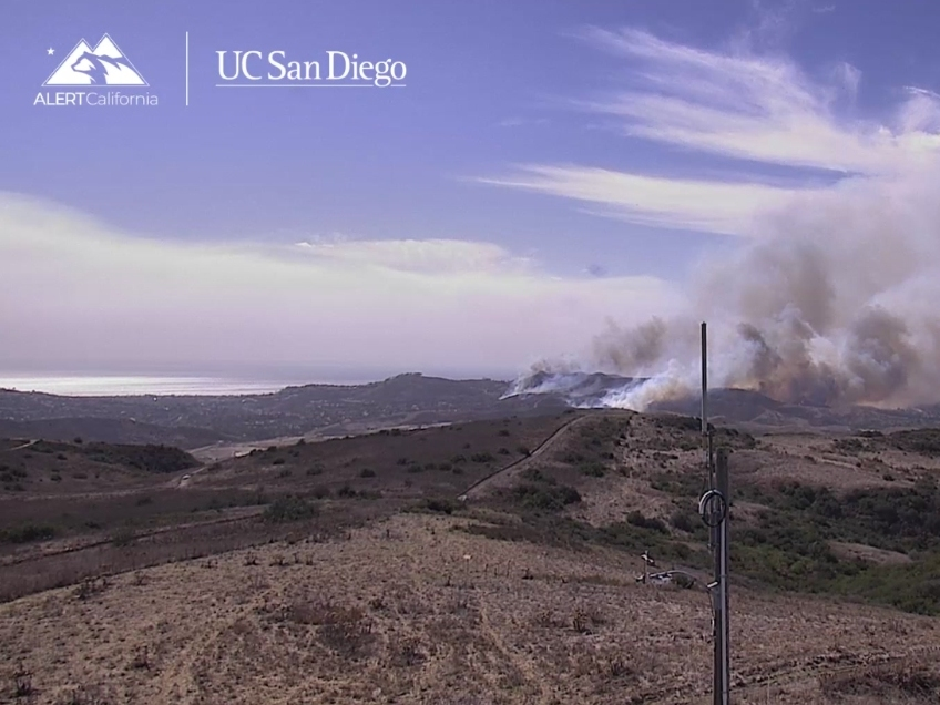
SAN CLEMENTE, CA — The Norte Fire broke out in the San Clemente and San Juan Capistrano area Friday, rapidly blackening 250 acres, damaging homes, and forcing hundreds of people to evacuate, according to the Orange County Fire Authority.
RELATED: Wildfire Destroys Homes In South OC; Evacuations Ordered
Residents in homes off Camino Las Ramblas to the 5 Freeway in San Juan Capistrano have been ordered to leave, and several homes are believed to have been impacted.
Find out what's happening in Los Angelesfor free with the latest updates from Patch.
Reports from the scene indicated at least eight structures were burned as the fire rapidly grew in size, with affected structures generally in the area of Avenida Calita, Via La Mirada and Via De Agua in San Juan Capistrano. Video from the scene showed flames burning through the roofs of multiple structures in the area. It was unclear exactly how many homes were affected.
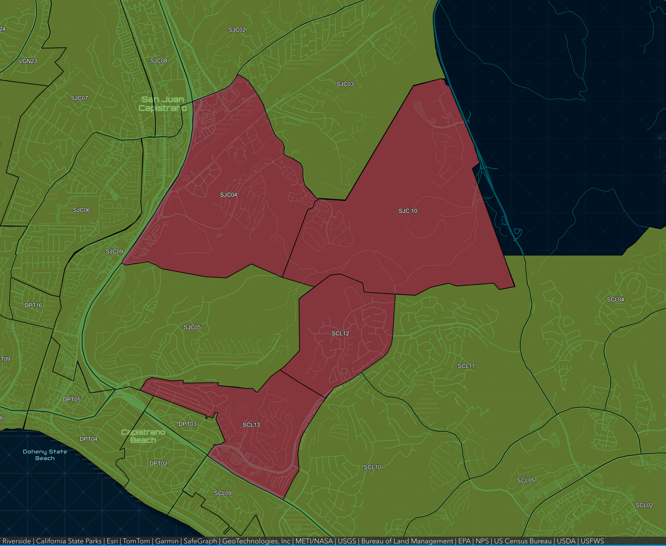
The fire in the area of Portico Del Norte broke out about 11:30 a.m., according to the Orange County Fire Authority.
Find out what's happening in Los Angelesfor free with the latest updates from Patch.
City News Service contributed to this report.
Get more local news delivered straight to your inbox. Sign up for free Patch newsletters and alerts.