Community Corner
New Tsunami Hazard Map Released In Seal Beach
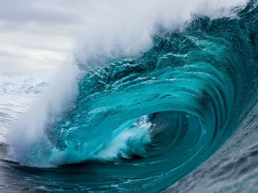
The new map will replace the 2009 map and include new data and improved computer modeling results, according to the city.


SEAL BEACH, CA — The California Geological Survey just released a new Tsunami Hazard Area map for Orange County, and Seal Beach residents can find out whether or not they currently live in a tsunami hazard zone by viewing the updated map.
The new area map for Orange County replaces the map published by CGS in 2009, the city said in a statement.
The new maps include new data and improved computer modeling results. Because of this, the maps are not only based on how far inland a wave of seawater might go in a worst-case emergency, but also include minor inland "buffers" to roads and landmarks to help determine where residents will be most safe to evacuate.
Find out what's happening in Los Alamitos-Seal Beachfor free with the latest updates from Patch.
The new map for the county also takes a variety of potential tsunami scenarios into account, the worst-case scenario resulting from a 9.3 magnitude earthquake in the eastern Aleutian islands, near Alaska.
Residents interested in viewing the new map can access it through the city's website.
Find out what's happening in Los Alamitos-Seal Beachfor free with the latest updates from Patch.
The map will also be posted at a kiosk at the base of the city's pier, as well as a second kiosk installed in the First Street Beach parking lot, the city said in a statement.
Get more local news delivered straight to your inbox. Sign up for free Patch newsletters and alerts.