Weather
Murrieta Weather: Winter Solstice Brings Shortest Day; Showers, Heavy Snow Approaching Region Ahead of Christmas
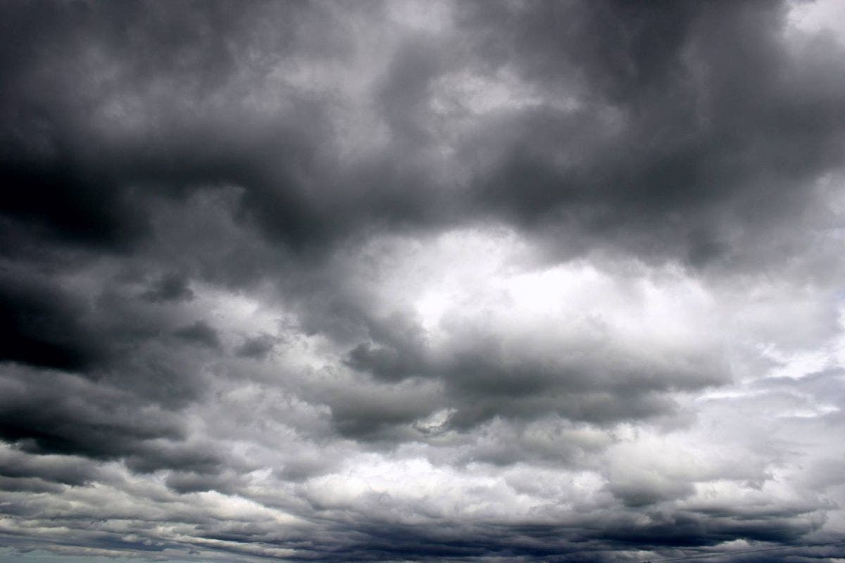
The National Weather Service says a winter storm will pack a punch ahead of Christmas Day, potentially impacting travel.

MURRIETA, CA — Sprinkles began falling in parts of Riverside County Wednesday as the first and weaker of two winter storms hit the region. By Friday night, forecasters say a "much colder winter storm will arrive," in the region, bringing with it heavy rainfall and snowfall — but the skies are expected to clear just in time for Christmas Day.
All of this as the Winter Solstice brings the shortest day of the year and longest night on Wednesday.
In a 12-hour period ending at 6 a.m. Wednesday, automated gauges collected .03 of an inch of rain in Murrieta and .01 of an inch in French Valley, Vista Grande and on Mount San Jacinto, according to provisional data from the National Weather Service. No precipitation was reported in the Coachella Valley.
The first trough of low pressure is expected to produce only sporadic light rain through Friday morning, but it may be enough to leave roadways slick during morning commutes, according to the National Weather Service. A slight chance of thunderstorms is also in the overnight forecast for the valleys around Riverside.

Forecasters predicted rainfall amounts from the first bout of inclement weather would be about .19 of an inch in Riverside; .22 in Thermal; .23 in Lake Elsinore and Palm Springs; and .35 in Anza. That storm will dissipate Thursday and drier weather is expected for most of the day Friday.
"As the low heads to the east on Thursday, showers will come to an end from west to east during the day," according to the weather service. "A few showers may linger over the mountains and lower deserts Thursday evening."

The second storm is poised to hit the region Friday night and bring widespread rain and heavy mountain snow, which may cause problems for holiday travelers. Forecasters warned that travel conditions through the mountains on Saturday could be treacherous.
That storm could potentially drop several inches of snow and snow levels could fall to as low as 3,000 to 3,500 feet Saturday. Strong winds are also expected Friday night and Saturday, especially in the mountains and deserts.
Here's the forecast for Murrieta through Christmas Day, courtesy of the National Weather Service:
Today
Showers likely, mainly before 5pm. Cloudy, with a high near 69. Light and variable wind becoming northwest 5 to 10 mph in the afternoon. Chance of precipitation is 60%.
Tonight
A chance of showers, then showers likely and possibly a thunderstorm after 11pm. Mostly cloudy, with a low around 47. North wind 5 to 10 mph becoming east in the evening. Chance of precipitation is 60%.
Thursday
Showers likely, mainly before 5pm. Mostly cloudy, with a high near 66. Northwest wind 5 to 15 mph becoming east in the morning. Winds could gust as high as 25 mph. Chance of precipitation is 70%.
Thursday Night
A 20 percent chance of showers before 11pm. Partly cloudy, with a low around 46. Southwest wind around 5 mph.
Friday
A 30 percent chance of rain after 5pm. Partly sunny, with a high near 63. Light south wind becoming southwest 5 to 10 mph in the afternoon. Winds could gust as high as 20 mph.
Friday Night
Rain, mainly after 11pm. The rain could be heavy at times. Low around 46. Breezy. Chance of precipitation is 80%.
Saturday
Rain. The rain could be heavy at times. High near 54. Chance of precipitation is 90%.
Saturday Night
A chance of rain. Mostly cloudy, with a low around 36.
Christmas Day
Mostly sunny, with a high near 54.
Temperatures in the Riverside metropolitan area on Friday will top out in the 60s, with lows in the 40s. On Saturday, the mercury will only reach 51 to 56 degrees, with a low between 33 and 42 that night, according to the weather service.
The agency predicted highs in the upper 60s for Palm Springs on Friday, with a low of 46 to 51. On Saturday, temps will peak in the low to mid- 60s, with lows of 39 to 45 degrees.
Milder and drier weather is expected throughout the Inland Empire on Christmas Day, forecasters said.
— Main image via Shutterstock / City News Service contributed to this report.