Weather
Rain, Thunderstorms In Murrieta Likely As Cold Storm Arrives: NWS
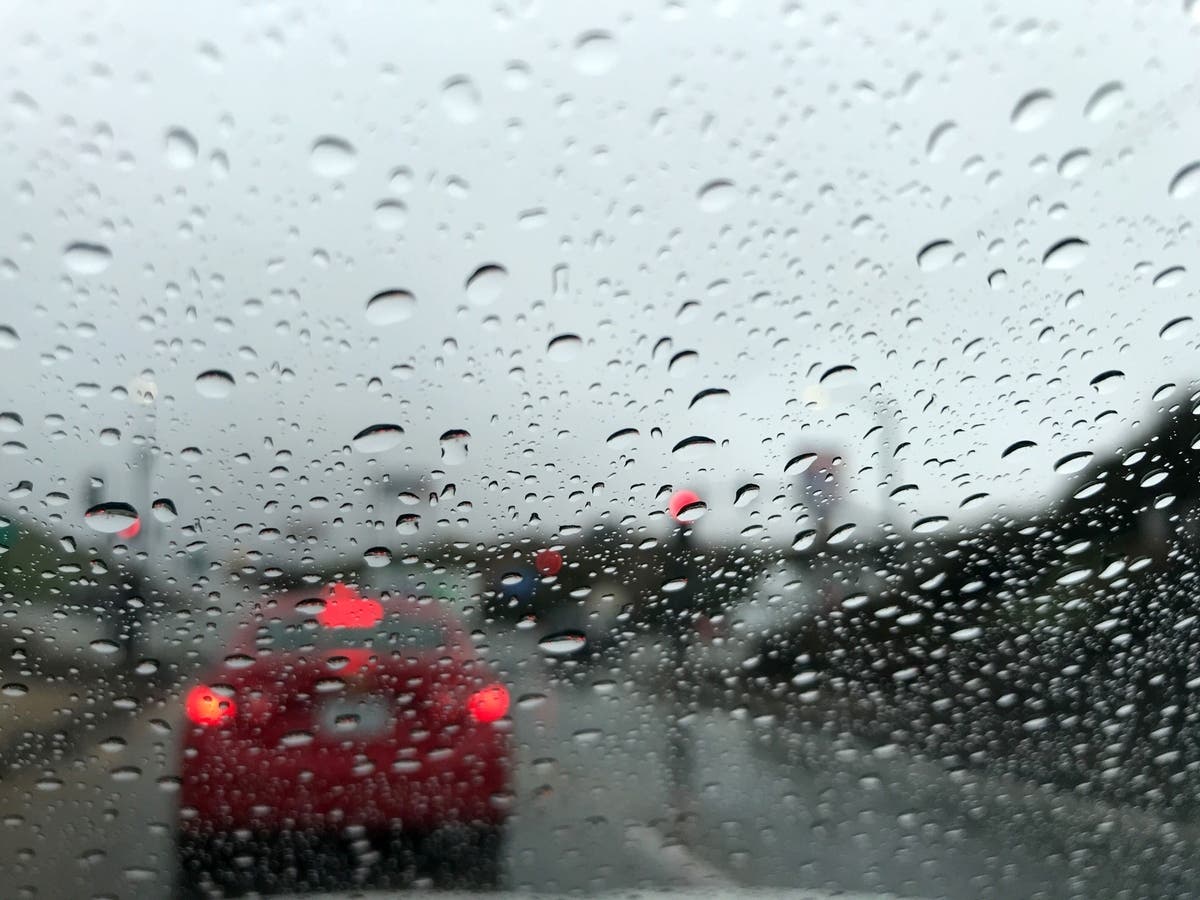
How cold will it get? This winter storm settling over the Southland will bring rain, mountain snow, frost advisories and commuter troubles.

MURRIETA, CA — After a week of some dramatic highs and lows in the Southland, get ready for another shift in the Southwest Riverside County weather.
Rain, wind and snow are expected in some Riverside County foothills and valleys while heavy snow settles into the Riverside County Mountains Tuesday night and Wednesday morning, the National Weather Service said.
A hard freeze watch would remain in place for Murrieta and all of Southwest Riverside County until Friday morning.
Snowy Ortega Highway Commute Expected:
Commuters of the Ortega Highway will see snow at the high point, according to the National Weather Service, with a 90 percent chance of precipitation, and a new snow accumulation of less than a half-inch possible overnight.
Watch for icy patches of roadway, and road closures during this time.
Wednesday, drivers should expect a chance of snow showers before 10 am, then a chance of rain and snow showers.
"A cold storm from the north will bring strong winds, chilly temperatures and widespread rain and mountain snow with the brunt occurring Tuesday afternoon through Wednesday morning," the NWS said in its forecast discussion Tuesday morning. "Hazardous travel is expected, especially through the mountains."
High Wind Warning:
In the Temecula area, a high wind warning was in effect Tuesday until 9 p.m., the NWS advised.
In the city, expect 15 miles per hour winds and gusts up to 25 miles per hour, both Tuesday and Wednesday.
Frost Advisories In Place:
It's time to cover the new plants you want to keep, gardeners! Take steps now to protect tender plants from the cold by covering them with frost cloth.
As the winds die down the colder temperatures settle in, according to the NWS. Residents should expect low temperatures in the 30s overnight the remainder of the week and with the low temperatures, frost advisories will be in place through Friday morning.
Winter Storm Warning For Mountains:
A winter storm warning was in place in Riverside County mountain communities, according to the NWS, with a large amount of snow headed our way. The region can expect between 4 and 8 inches of snow starting at 4 p.m. Tuesday until the storm moves out of the area, around 6 p.m. Wednesday.
Snow accumulation was estimated to be: 2 to 4 inches from 4,000 to 6,000 feet, 4 to 8 inches above 6,000 feet with locally with more significant amounts on higher peaks, according to meteorologists.
Drivers should take precautions and watch for downed trees and power lines during the wind and snow event.
Here's the full detailed forecast for Murrieta for the coming days, via the NWS:
Today
Showers likely. Mostly cloudy, with a high near 54. West wind around 15 mph, with gusts as high as 30 mph. Chance of precipitation is 70%. New precipitation amounts of less than a tenth of an inch possible.
Tonight
Showers and possibly a thunderstorm. Low around 37. Southwest wind 5 to 15 mph, with gusts as high as 20 mph. Chance of precipitation is 90%. New rainfall amounts between a tenth and quarter of an inch, except higher amounts possible in thunderstorms.
Wednesday
A chance of showers. Mostly sunny, with a high near 51. South wind 5 to 15 mph becoming west in the morning. Winds could gust as high as 20 mph. Chance of precipitation is 50%. New precipitation amounts of less than a tenth of an inch possible.
Wednesday Night
Areas of frost after 10pm. Otherwise, mostly clear, with a low around 26. Southwest wind around 5 mph becoming north after midnight.
Thursday
Areas of frost before 10am. Otherwise, sunny, with a high near 58. Northwest wind around 5 mph becoming calm.
Thursday Night
Areas of frost after 10pm. Otherwise, clear, with a low around 27.
Friday
Areas of frost before 10am. Otherwise, sunny, with a high near 64.
Friday Night
Patchy frost after 10pm. Otherwise, mostly clear, with a low around 34.
Get more local news delivered straight to your inbox. Sign up for free Patch newsletters and alerts.