Weather
Winter's 1st 'Significant Storm' To Dump Rain, Snow Near Murrieta
The NWS is calling this "the first significant storm of the winter season" and that up to 18 inches of snow may fall in some parts of RivCo.

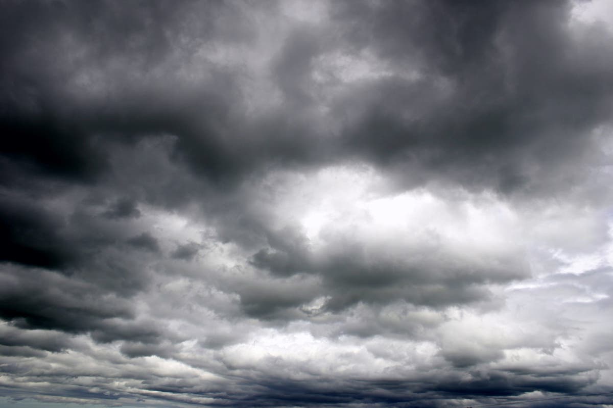
MURRIETA, CA — A powerful storm expected to roll in Monday evening is expected to dump up 18 inches of snow in some parts of the Riverside and San Bernardino county mountains, the National Weather Service said. Meanwhile, in the valleys, Riverside County residents can expect a tough morning commute on Tuesday with heavy rain and isolated thunderstorms.
There's a 100 percent chance of rain in Murrieta on Tuesday and temperatures could dip into the 40s, according to weather forecasters.
"Light rain and showers are likely today into this evening ahead of a Pacific storm that will bring more widespread and heavier precipitation and strong gusty winds late tonight into Tuesday evening," the NWS said in its forecast discussion on Monday.
The storm will bring periods of snow and strong winds beginning late Monday evening and continue into Tuesday evening. Heavy, wet snow is expected in Crestline, Lake Arrowhead, Big Bear City, Big Bear Lake, Running Springs, Wrightwood and Idyllwild-Pine Cove.
Areas above 5,000 feet are expected to see 4 to 8 inches of snow accumulation. Some areas above 8,000 feet can expect 18 inches, according to the NWS.
Winds will be strongest from mountain ridge tops and onto the desert slopes of mountains, with speeds from 25 to 35 mph and gusts of up to 65 mph.
In areas hit by rain, residents can expect a large dose on Tuesday morning.

"The most widespread and heaviest precipitation is expected with the passage of the cold front early Tuesday morning, and periods of locally intense rainfall will be possible," the NWS said.
Here is your detailed work week forecast for Murrieta, via the National Weather Service:
Monday
A 30 percent chance of showers, mainly after 4pm. Cloudy, with a high near 67. Calm wind becoming south around 5 mph in the afternoon.
Monday Night
Showers, mainly after 10pm. The rain could be heavy at times. Low around 55. Southeast wind 5 to 15 mph, with gusts as high as 25 mph. Chance of precipitation is 80%.
Tuesday
Showers and possibly a thunderstorm. Some of the storms could produce heavy rainfall. High near 58. South wind 10 to 20 mph becoming west in the afternoon. Winds could gust as high as 30 mph. Chance of precipitation is 100%.
Tuesday Night
Showers likely and possibly a thunderstorm before 10pm, then a chance of showers. Mostly cloudy, with a low around 43. Southwest wind around 5 mph becoming calm in the evening. Chance of precipitation is 60%.
Wednesday
A 20 percent chance of showers before 10am. Partly sunny, with a high near 63. Light south wind increasing to 5 to 10 mph in the morning.
Wednesday Night
Mostly clear, with a low around 43.
Thursday
Sunny, with a high near 75.
Thursday Night
Mostly clear, with a low around 45.
Friday
Sunny, with a high near 78.
Friday Night
Mostly clear, with a low around 47.
--
Patch file photo by Renee Schiavone / City News Service contributed to this report
Get more local news delivered straight to your inbox. Sign up for free Patch newsletters and alerts.