Weather
Pacific Storm Brings Snow And Risk Of Mudslides
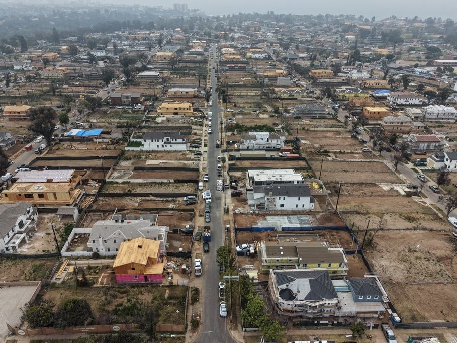
Monday morning commuters were met with wet roads across LA, and heavy snow affecting the San Gabriel Mountains.

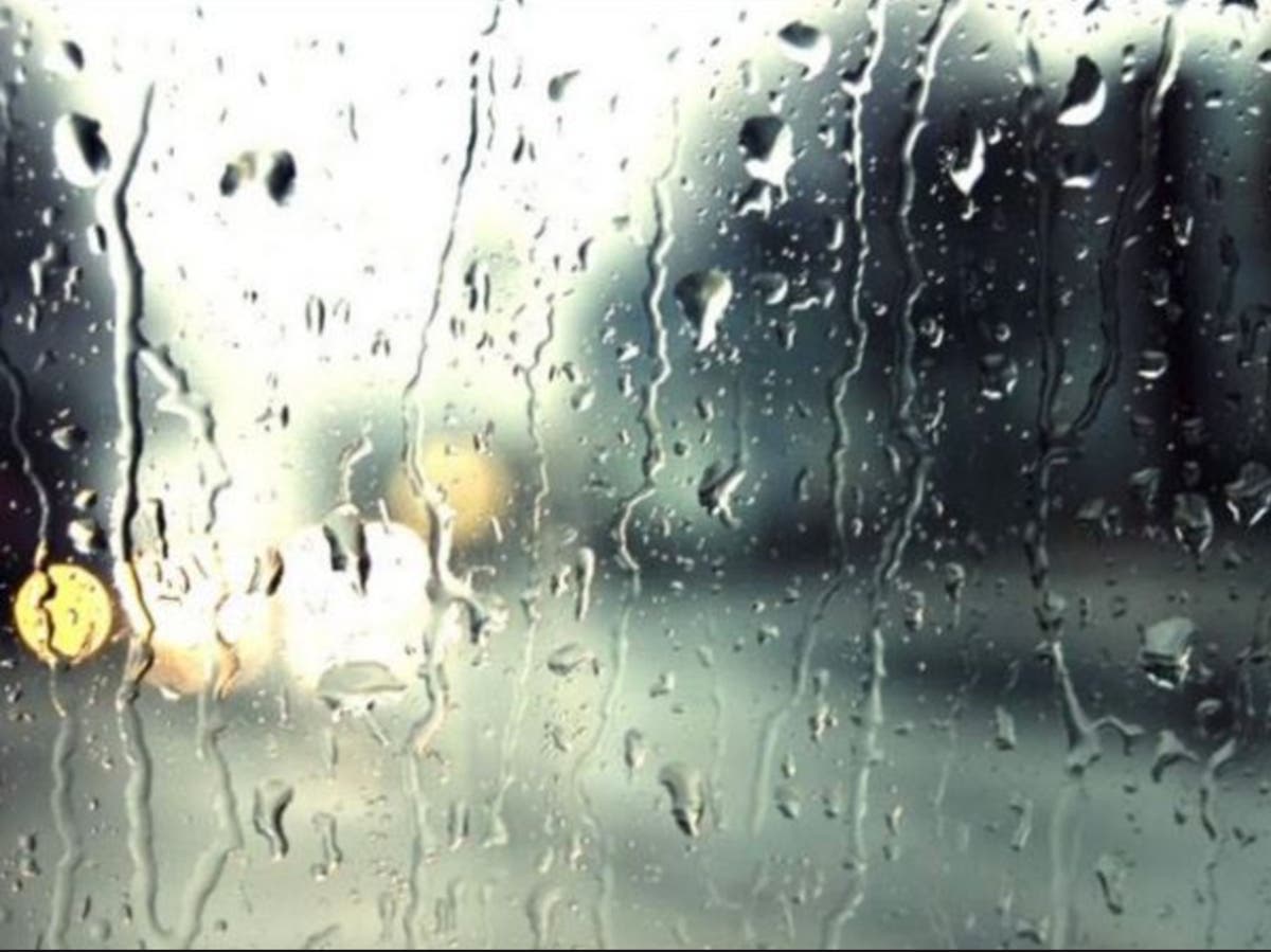
LOS ANGELES, CA — A Pacific storm is expected to pack a powerful punch across the Los Angeles area Monday and into Tuesday.
Scattered showers struck the region just as the Monday morning commute started, creating treacherous conditions and the risk of mudslides in the San Gabriel Mountains as well as areas stripped bare by the Woolsey Fire in L.A. and Ventura counties, according to forecasters. The storm is the second in a series to hit the region, and a winter storm warning is in effect in the local mountains until 10 a.m. Tuesday.
Heavy snow is expected, with up to a foot of snow accumulation inches anticipated above 5,000 feet and 1-3 inches between 4,000 and 5,000 feet, according to the NWS. Snow could fall even as low as 3,500 feet, which could affect Interstate 5 through The Grapevine.
Find out what's happening in Pacific Palisadesfor free with the latest updates from Patch.
At the same time,"damaging" winds of 25-35 miles per hour gusting at up to 60 mph will buffet the northwest San Gabriels, including the Interstate 5 corridor, the weather service said.
"Plan on difficult travel conditions, including during the evening commute on Monday and the morning commute Tuesday. Be prepared for significant reductions invisibility at times," according to the NWS statement. A Winter Storm Warning for snow means severe winter weather conditions will make travel very hazardous or impossible.
Find out what's happening in Pacific Palisadesfor free with the latest updates from Patch.
"If you must travel, keep an extra flashlight, food and water in your vehicle in case of an emergency. The latest road conditions from CalTrans are available by calling (800) 427-7623."
A wind advisory and a high surf advisory will also be in force Monday in parts of the Southland.
Along the L.A. County coast, breaking waves of 4 to 7 feet, with maximum sets of 8 feet, are expected, increasing to 5 to 8 feet Monday afternoon through Tuesday, according to the NWS. The high surf then is likely to continue Tuesday night through Friday.
The conditions create "an increased risk for ocean drowning," warned an NWS statement on maritime conditions. "Rip currents can pull swimmers and surfers out to sea. Large breaking waves can cause injury, wash people off beaches and rocks, and capsize small boats near shore."
Forecasters warned swimmers who get caught in a rip current to "relax and float. Don't swim against the current. If able, swim in a direction following the shoreline. If unable to escape, face the shore and call or wave for help."
The storm arriving Monday will produce between a half-inch and an inch- and-a-half of rain and up to 2-and-a-half inches in the mountains and foothills, said NWS meteorologist Todd Hall. The three storms expected this week should generate between 3 and 6 inches of rain in coastal valleys and 7 to 9 inches in mountains and foothills, he said.
"It's going to be a very wet week for Southern California," Hall said.
The Woolsey Fire area in Ventura County and in the Malibu area in L.A. County is the most vulnerable of the region's burn areas, Hall said. The Los Angeles County Sheriff's Department emphasized the risks in a statement.
"Authorities warn that all residents who live in or near the Woolsey Fire burn area should remain aware of their surroundings and weather conditions during these storms. Even small amounts of rainfall rates may result in significant mud and debris flow, so we strongly encourage residents who live in or near Woolsey Fire burn areas to be ready to evacuate at a moment's notice," said Los Angeles County Sheriff's Captain Darren Harris.
"If you feel unsafe or think that hazardous conditions near your home may develop, do not hesitate to leave. Elderly residents, individuals who have medical conditions and residents who own large animals should make plans now to leave their homes as a precaution.'
L.A. County public safety officials said communities in low-lying areas or next to steep slopes or waterways are particularly at-risk of falling debris and mud flow. Residents living in homes with limited roadway access or that can become isolated for an extended period due to the storm should consider leaving before storms arrive, and homes or neighborhoods with gates should consider leaving them open to avoid being trapped due to mud flow accumulation; even one-inch of mud can restrict gate operations.
"If your property becomes unsafe and there is no time to evacuate, seek safe high-ground," urged the sheriff department statement. It added:
"Since all canyon roads may be blocked and subject to closure for extended periods, residents should have enough food, water, medication and supplies for at least seven to 10 days for all family members, including pets and large animals."
City News Service and Patch Staffer Paige Austin contributed to this report. Photo by Jennifer Cook
Get more local news delivered straight to your inbox. Sign up for free Patch newsletters and alerts.