Weather
Storms Sets Los Angeles Rain Records
The first of back-to-back Pacific storms set rainfall records Thursday, in part, making up for a bone-dry February.

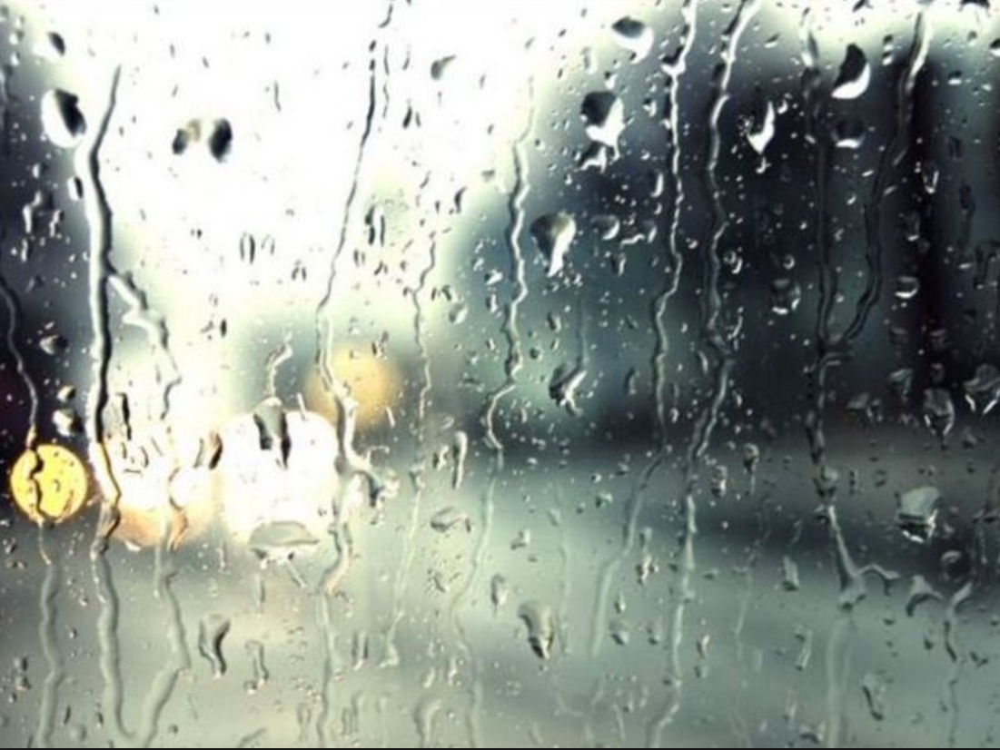
LOS ANGELES, CA — After the driest February on record, the Southland got some much needed moisture this week as record rainfall drenched the region. From the San Fernando Valley to Long Beach, rain records fell Thursday thanks to a Pacific storm that dumped nearly two inches of rain in parts of LA.
The Pacific storm lingering since Monday will serve up a wet morning commute Friday before finally catching the jet stream and gliding out of the region, forecasters said. However, residents will barely have time to dry out before another powerful storm moves in Monday, according to the National Weather Service.
"Sometimes, with a cutoff low, a storm just wobbles in place until it gets picked up by a jet stream," and that will happen later Friday morning, National Weather Service meterologist Dave Bruno said in a telephone interview from his monitoring station in Oxnard.
Find out what's happening in Pacific Palisadesfor free with the latest updates from Patch.
Rain is expected in Ventura County and Western L.A. County until it sweeps across the San Fernando Valley and exits in an easterly direction late Friday morning, Bruno said, although "a lot of low-level moisture" will persist through the weekend, producing some rainfall Friday afternoon.
Bruno said the length of time this week's Pacific storm has been hanging around is not unheard of, but this was one of the "slower" systems to hit the Southland.
Find out what's happening in Pacific Palisadesfor free with the latest updates from Patch.
Again Friday, no debris flows or mudslides are expected, even over areas previously denuded by wildfire, "but we came close on Thursday" when the rain began to fall at a rate of three-quarters of an inch an hour outside the Saddleridge burn area south of the Santa Clarita Valley.
Another storm system will blow into the Southland late Monday, and this one could douse the San Gabriels at lower elevations, including The Grapevine.
Several rainfall records for a March 12 were set Thursday, including 1.06 at LAX, breaking the record of .36 of an inch set in 1967; 1.23 inches at Long Beach Airport, breaking the record of .24 of an inch set in 1995; 1.69 inches at Burbank Airport, breaking the 1.43 inches set in 1941; 1.49 inches at Palmdale Airport, breaking the record .33 of an inch set in 1938; .94 of an inch at Lancaster Fox Field, breaking the record of 0.06 of an inch set in 2006; and 1.95 inches at Van Nuys Airport, which was the most ever for a March 12.
The NWS also said Thursday was the 21st wettest March day at LAX; the 11th wettest March day at Long Beach airport since 1959; the 25th wettest March day at Burbank airport since 1940; the 5th wettest March day at Palmdale Airport since 1932; and the 7th Wettest March day at Lancaster Fox Field since 1945.The weather service forecast showers Friday and highs of 46 on Mount Wilson; 58 in Saugus; 59 in Avalon; 60 in Palmdale, Lancaster, Pasadena and Burbank; 61 in San Gabriel and Woodland Hills; 62 in Long Beach; and 63 in Downtown L-A and at LAX. Showers are expected Saturday along with roughly the same highs as Friday, followed by a mostly cloudy Sunday and a rainy Monday, Tuesday, Wednesday and Thursday.
Showers were also forecast in Orange County, along with highs of 43 on Santiago Peak; 51 on Ortega Highway at 2,600 feet; 56 at Fremont Canyon; 58 at Trabuco Canyon; 60 in Yorba Linda and Laguna Beach; 61 in San Clemente and Mission Viejo; 62 in Newport Beach, Fullerton and Anaheim; and 64 in Irvine. More showers were forecast Saturday along with slightly higher temperatures, followed by cloudy skies Sunday and Monday, then more rain and showers through Thursday.
City News Service and Patch Staffer Paige Austin contributed to this report.
Get more local news delivered straight to your inbox. Sign up for free Patch newsletters and alerts.