Home & Garden
Chance of Thunderstorms in Coachella Valley Through Weekend
A Flash Flood Watch was scheduled to remain in effect until 10 p.m.

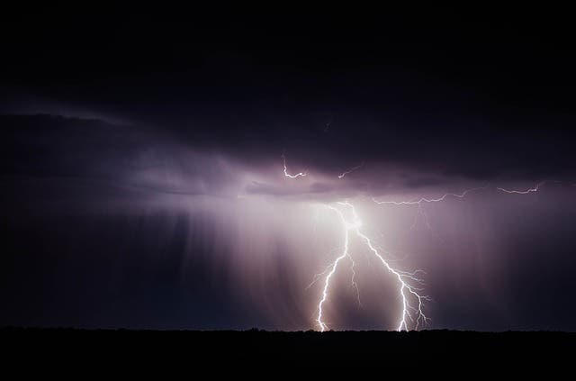
Photo via Shutterstock
By City News Service
Thunderstorms moved into the desert areas this weekend, bringing rain and thunder that may continue through the next few days, according to the National Weather Service.
Find out what's happening in Palm Desertfor free with the latest updates from Patch.
Scattered showers and thunderstorms were expected in the Coachella Valley during the day, but temperatures were expected to remain high, with a high near 98.
Saturday night, a 40 percent chance of showers and thunderstorms was predicted, mostly before 11 p.m., according to the NWS.
Find out what's happening in Palm Desertfor free with the latest updates from Patch.
A Flash Flood Watch was scheduled to remain in effect until 10 p.m. The watch was issued for a number of areas including the Coachella Valley, the Riverside County Mountains, the San Gorgonio Pass near Banning, and the San Bernardino County Mountains. The flash flood watch may be extended for Sunday afternoon and early evening, forecasters said.
“Moisture from former Hurricane Dolores will spread into Southern California (Saturday). If there are enough breaks in the clouds, thunderstorms with the potential to produce heavy rainfall and flash flooding could develop, mainly over the mountains and deserts from late morning into the evening,” the NWS reported.
Get more local news delivered straight to your inbox. Sign up for free Patch newsletters and alerts.