Crime & Safety
SCU Lightning Complex Fire: More Evacuations And A Perfect Storm
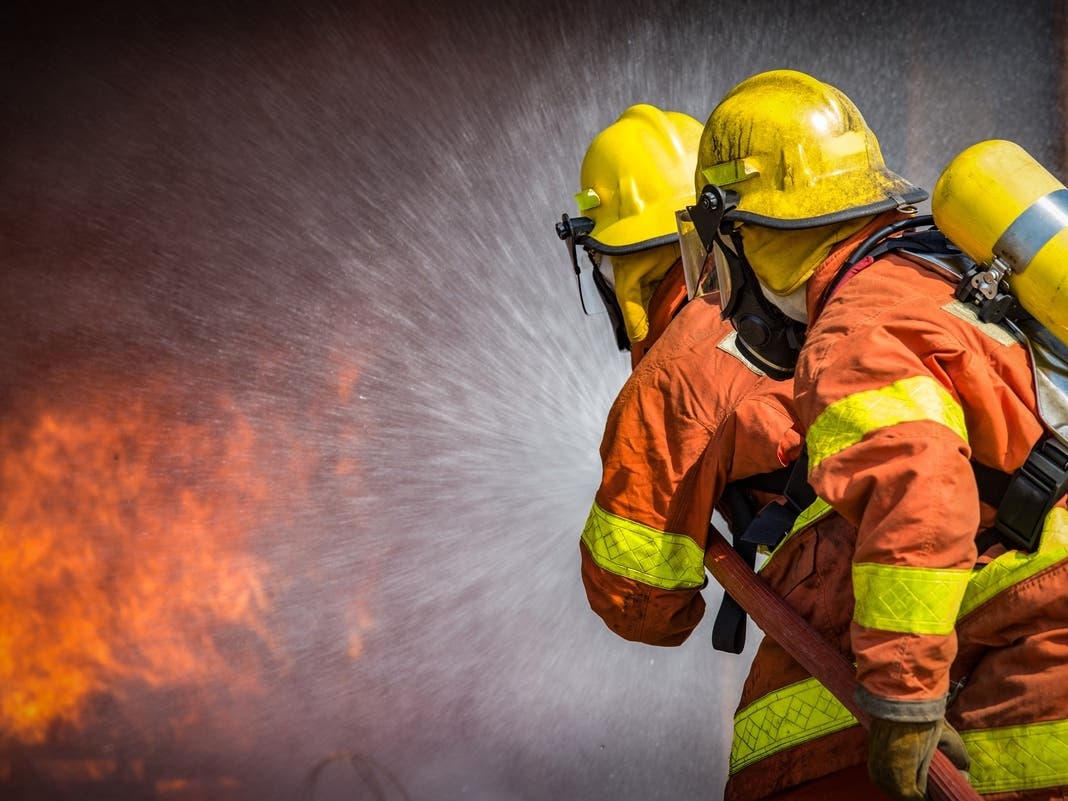
Though firefighters continued to work with limited resources Monday, weather conditions appeared to be improving.


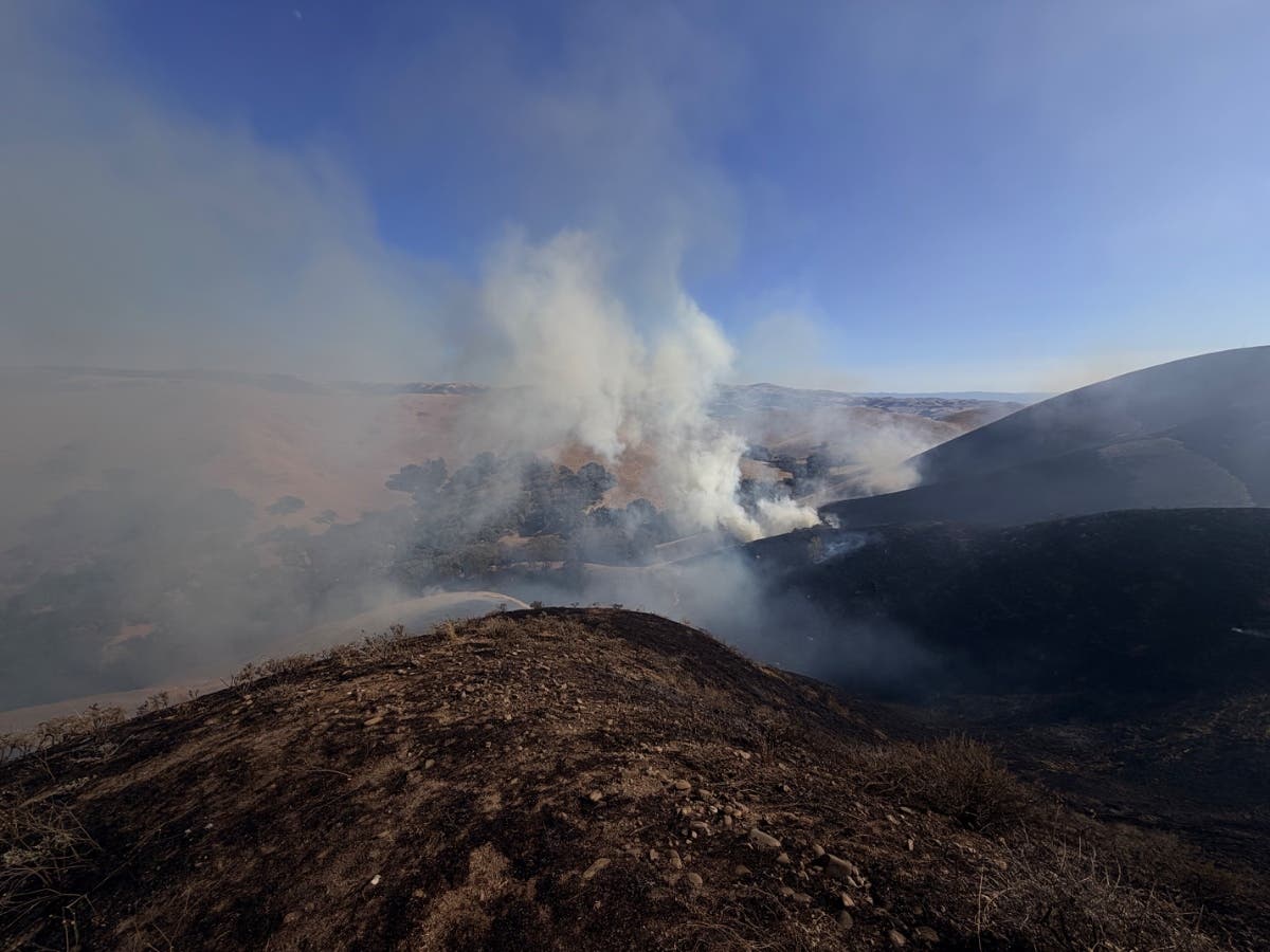
BAY AREA, CA — The massive SCU Lightning Complex Fire had scorched 347,000 acres and was at 10 percent containment Monday morning.
That's an increase of about 7,000 acres since the last count Sunday. While dry lightning was potentially forecast to land in the Bay Area Sunday and Monday, few strikes were reported. And a red flag warning — indicating weather conditions were conducive to the quick spread of wildfire — was called off early Monday.
Thousands have been forced to flee their homes since the fire began, and more evacuation orders were issued at 3 a.m. Sunday in Alameda County. On Sunday afternoon, the City of Fremont also warned residents to be prepared to evacuate as the fire heads toward the Mission Hills neighborhood.
Find out what's happening in Pleasantonfor free with the latest updates from Patch.

At a press conference Sunday afternoon, authorities warned that the SCU Lightning Complex could be burning for many days to come.
"I would be remiss if I did not recognize the fact that this is an absolute marathon that we are embarking on," said Cal Fire's Santa Clara Unit Chief. "I can not reiterate enough the magnitude of how long this incident can go, and our troops are exhausted."
Find out what's happening in Pleasantonfor free with the latest updates from Patch.
"At the end of the day we will put this fire out," he added.
As fire crews battle exhaustion, residents too should be prepared to remain alert and prepared to evacuate with little notice.
An immediate mandatory evacuation order and evacuation warnings were issued around 3 p.m. for residents of East Morgan Hill in Santa Clara County. More information and specific locations can be found here.
More mandatory evacuations stretch from south of Welch Creek Road to the SCU Complex Fire perimeter and the south Alameda County line, and east of Calaveras Road at Welch Creek Road to the fire perimeter.
"A Red Flag Warning for dry lightning and gusty outflow winds began this morning at 5 am and will last until 5 pm tomorrow afternoon," according to Cal Fire. "The period of main concern on the SCU Lightning Complex will be Sunday evening and overnight into Monday morning. Even if the storms miss the complex, gusty outflow winds from nearby cells will be of concern for fire growth and firefighter safety in the next few operational periods."
The cluster of 20 lightning sparked fires known as the SCU Lightning Complex Fire threatens more than 20,000 homes in the Bay Area and Central Valley. Tens of thousands of residents have been displaced by the blaze, the second largest fire in state history. Many more are on notice to be prepared to flee their homes if the fire shifts. At 3 a.m. Sunday morning, officials issued evacuation orders affecting residents in the Stanislaus and San Joaquin county areas near the Canyon Zone portion of the fires.
At least five buildings have been destroyed.
Evacuation orders have been issued for surrounding homes in several counties (see evacuation orders here).
The Contra Costa County part of the SCU Lightning Complex fires, known as the Deer Zone Fires, have nearly been extinguished, Cal Fire said Friday.
The SCU Lightning Complex fires consist of a few clusters:
- The Deer Zone fires in Contra Costa County, west of the Los Vaqueros Reservoir
- The Calaveras Zone fires in Alameda, Santa Clara and Stanislaus counties, northeast of the Calaveras Reservoir in the Sunol area and east of the reservoir, stretching down into the San Felipe Hills.
- The Canyon Zone fires in Stanislaus and San Joaquin counties, burning toward Corral Hollow on the north end and burning into Henry W. Coe State Park on the south end.
Acreage information is not available for each fire cluster.

Two first responders and two members of the public have been injured in the fire, which is thought to have initially sparked at 4 a.m. Aug. 18. The cause remains under investigation.
See information on road closures here. Information on evacuation orders and warnings can be found here. The following evacuation centers are open:
- Creekside Middle School (535 Peregrine Drive, Patterson)
- Milpitas Library (160 N. Main St., Milpitas)
- Ann Sobrato High School performing arts building (401 Burnett Ave., Morgan Hill)
Animal evacuation centers include:
- County of Santa Clara Animal Services: 408-686-3900 (for the unincorporated areas of Santa Clara County, Morgan Hill, and Gilroy)
- Hold Your Horses Live Stock: 925-584-1976 (for large animals in Canyon Fire area)
The public may call Cal Fire's incident information line at 916-618-3195 or 669-247-7431 for the latest information on the fires.
EVACUATION ORDERS:
Santa Clara County:
Alameda County / Stanislaus County:
San Joaquin County:
Also See:
- PG&E Employee Dies Assigned To LNU Lightning Complex Fire
- The Salvation Army Feeds Deer Zone Fire Crews, Evacuees In Contra Costa County
- San Mateo/Santa Cruz County Fires
- Marin County Fires
- Napa County Fires
- 2,500 Lightning Strikes In Bay Area: SEE
- Hopscotch Drawn On San Francisco Sidewalk Sparks Joy: Watch
— Bay City News and Patch Staffer Courtney Teague contributed to this report
Get more local news delivered straight to your inbox. Sign up for free Patch newsletters and alerts.