Crime & Safety
6,100 Firefighters Battle 14 Calif. Blazes: Monday Fire Summary [MAP]
Check out the latest statewide fire summary and location map as of Monday, July 10. (Breaking)

As California's firefighters are getting full containment on some wildfires, others are popping up across the state. There were approximately 6,100 firefighters out battling 14 large wildfires in the Golden State as of Monday morning, according to Cal Fire.
Crews are expecting inland temperatures to remain above normal Monday, but a cooling trend is forecast for the coming days. Scattered showers and thunderstorms are possible in the coastal and valley locations of SoCal.
Officials with the state's lead firefighting agency on Monday reminded residents that many of the wildfires in the state are sparked along roadways.
Find out what's happening in San Mateofor free with the latest updates from Patch.
"These fires can be prevented by practicing a few safety measures," officials said. "Don’t drag any parts and make sure to secure chains when towing. Check tire pressure and properly maintain brakes so you don’t expose areas that can throw sparks. Make sure to pull over in an open area if you have mechanical problems as hot exhaust pipes and mufflers can start fires."
For more detailed wildfire safety information, you can head to: http://www.readyforwildfire.org/
Find out what's happening in San Mateofor free with the latest updates from Patch.
Courtesy of Cal Fire, here are the main fires of interest that crews are fighting as of Monday, July 10:
***CAL FIRE INCIDENTS:
Wall Fire, Butte County (more info…)
Chinese Wall Rd, 5 miles north of Bangor
- 5,600 acres, 35% contained
- Evacuations remain in effect
Winter Fire, Yolo County (more info…)
Highway 128 at Pleasant View Road, 3 miles southwest of Winters
- 2,269 acres, 90% contained
Stone Fire, San Luis Obispo County, NEW
Huer Huero Rd x Hwy 58, Santa Margarita
- 340 acres, 40% contained
Garza Fire, Kings County, NEW
8.5 miles east of Parkfield near the Monterey, Kings County Line
- 5,000 acres, 5% contained
Fay Fire, Siskiyou County (more info…)
Highway 3 and Fay Lane, 7 miles south of Etna
- 469 acres, 95% contained
Axel Fire, El Dorado County
Axel Ct. and Barrister Ct., Rescue
- 100 acres, 70% contained
Parkfield Fire, Monterey County
Vineyard Canyon Rd, 25 miles west of Parkfield
- 1,816 acres, 80% contained
Benson Fire, Tehama County
Benson Rd, Bowman., 11 miles northwest of Red Bluff
- 29 acres, 95% contained
Willow Fire, Contra Costa County, FINAL
Springwood Ct. and California St., Rodeo
- 370 acres, 100% contained
West Fire, Yuba County, FINAL
Camp Far West Rd and Wichita Way, east of Olivehurst
- 50 acres, 100% contained
Deer Complex, Contra Costa County, FINAL
Deer Valley Rd and Marsh Creek Rd, west of Brentwood
- 231 acres, 100% contained
Banderilla Fire, Mariposa County FINAL
Banderilla Drive at Hildalgo Street, north of Hayward
- 36 acres, 100% contained
Tower Fire, San Luis Obispo County FINAL
Hwy 101 at Mount Lowe Road
- 58 acres, 100% contained
**UNIFIED COMMAND**
Whittier Fire, Santa Barbara County, NEW (more info…)
Lake Cachuma area, south of Hwy 154
- 10,823 acres, 5% contained
Alamo Fire, San Luis Obispo County (more info…)
Highway 166 at Alamo Creek Road, east of Santa Maria
- 28,926 acres, 15% contained
Bryant Fire, San Bernardino County, FINAL
Highway 38 at Bryant, west of Yucaipa
- 74 acres, 100% contained
**FEDERAL INCIDENTS**
Island Fire, Siskiyou County (more info…)
14 miles west of Etna in the Marble Mountain Wilderness
- 736 acres
Schaeffer Fire, Tulare County (more info…)
17 miles north of Kernville
- 14,342 acres, 11% contained
Mart Fire, San Bernardino County (more info…)
Highland Ave at Highway 330
- 670 acres, 95% contained
Silver Fire, San Bernardino County (more info…)
Silverwood Lake Area
- 13 acres, 80% contained
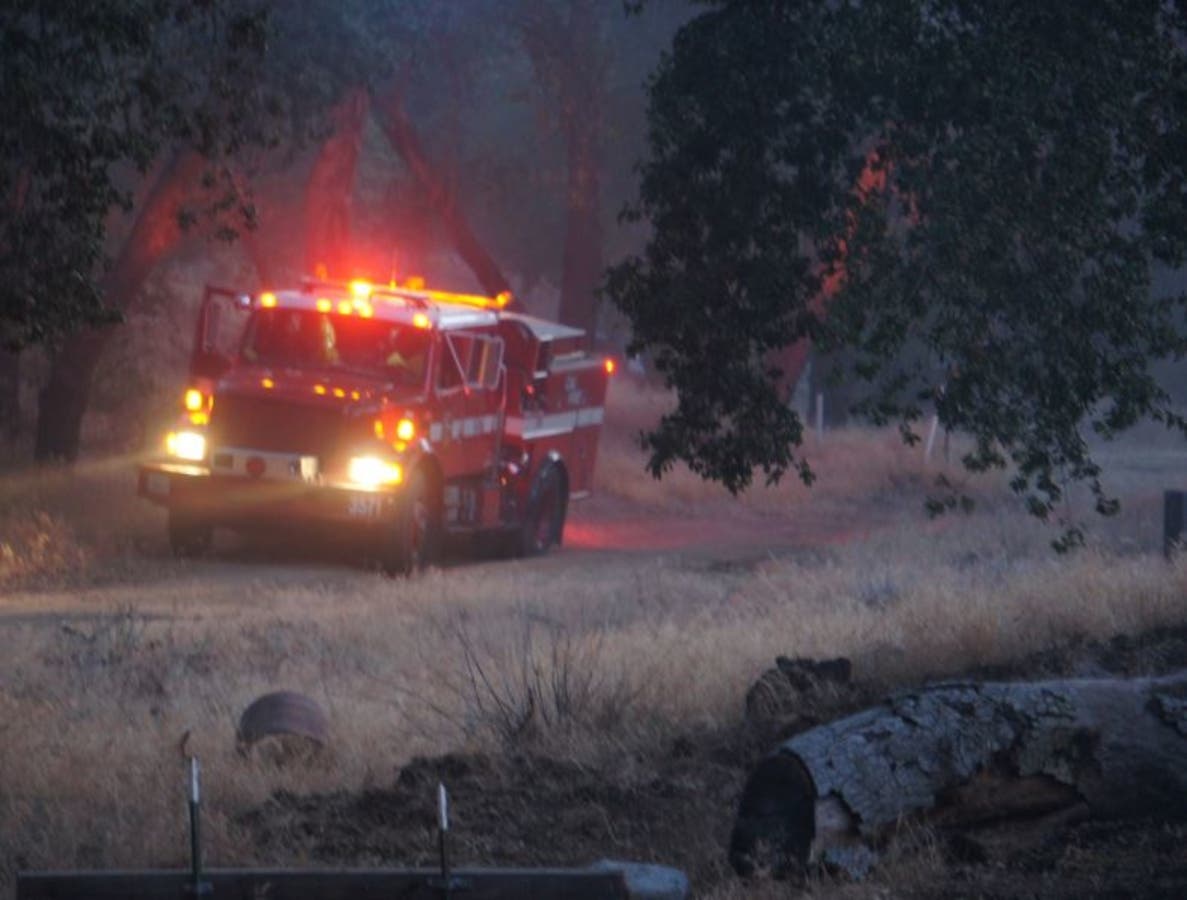
Patch file photo by Renee Schiavone
Get more local news delivered straight to your inbox. Sign up for free Patch newsletters and alerts.