Weather
Flash Flood Watch: Debris Flows, Mudslides Possible For North Bay
The National Weather Service has issued a flash flood watch for the North Bay interior valleys and mountains.

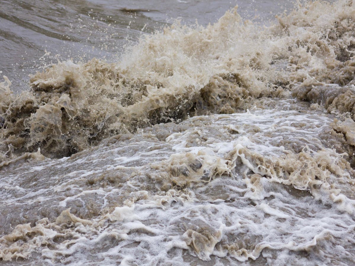
NORTH BAY, CA – The strongest storm of the season thus far is forecast to spread rain across the San Francisco Bay Area, bringing periods of heavy rain to the North Bay. Debris flows, flash floods and mudslides are possible for areas affected by the North Bay wildfires, prompting the National Weather Service to issue a flash flood watch for areas in and adjacent to the burn scars from the Atlas, Pocket, Nuns and Tubbs fires.
The flash flood watch is in effect from noon Monday to 6 a.m. Tuesday for the North Bay interior valleys and mountains, including the cities and communities of Angwin, Lagunitas-Forest Knolls, Napa, Novato, Petaluma, Rohnert Park, San Rafael, Santa Rosa, South Santa Rosa and Woodacre.
"A flash flood watch means that conditions may develop that lead to flash flooding. Flash flooding is a very dangerous situation," the National Weather Service warned the public. "You should monitor later forecasts and be prepared to take action should flash flood warnings be issued. Be particularly vigilant if you live in or near the North Bay burn scars."
Find out what's happening in San Rafaelfor free with the latest updates from Patch.
Rainfall totals Monday and Monday night are forecast to range from 1.5 to 2.5 inches in the North Bay valleys and from 2 to 4 inches in the North Bay mountains, according to the National Weather Service. Locally higher amounts are possible.
Rainfall rates from Monday afternoon through Monday night will likely reach or exceed a half-inch per hour, weather officials said.
Find out what's happening in San Rafaelfor free with the latest updates from Patch.
Debris flows can bury homes under a pile of mud and debris. Learn more https://t.co/Qa8jIxZX3b (photo: @fema) pic.twitter.com/Hx8OX9YV16
— NWS (@NWS) January 8, 2018
Heavy rain is predicted in many burned areas. Intense heat can bake the soil and make it hard for water to soak into the ground causing increased risk of flooding, debris flows and downed trees. Please remain aware of your surroundings and listen for unusual sounds. pic.twitter.com/Hh9LjxVdDt
— CAL FIRE (@CAL_FIRE) January 8, 2018
Image via Shutterstock
Get more local news delivered straight to your inbox. Sign up for free Patch newsletters and alerts.