Weather
Red Flag Warnings Take Effect As Santa Ana Winds Threaten Southern California
Strong winds, dangerously low humidity and soaring temperatures could fuel rapidly spreading wildfires through Saturday.


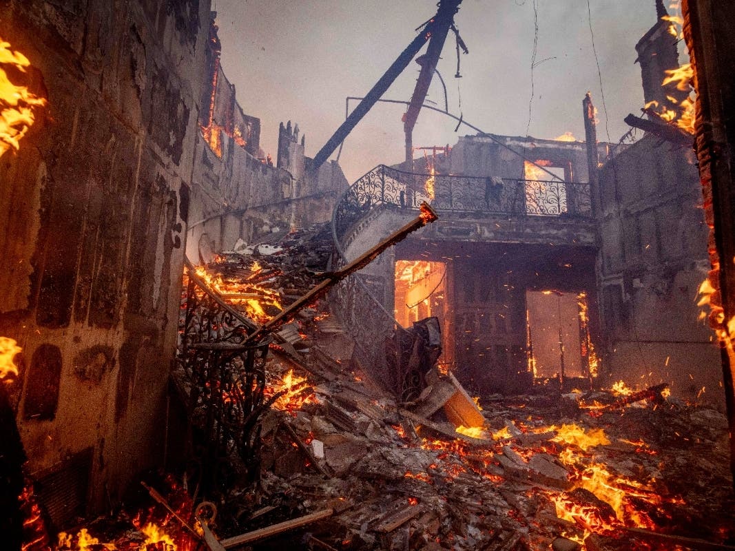
LOS ANGELES, CA — Red flag warnings took effect across much of Los Angeles and Ventura counties Thursday morning as powerful Santa Ana winds, low humidity and rising temperatures combined to create dangerous wildfire conditions expected to persist into the weekend.
The National Weather Service in Los Angeles/Oxnard said the warnings began at 6 a.m. Thursday, Oct. 15, and are scheduled to remain in effect until 8 p.m. Saturday, Oct. 17, with the strongest winds expected Friday.
Forecasters warned that any new wildfire could spread rapidly and exhibit extreme fire behavior as dry offshore winds sweep across the region. Northeast to east winds of 20 to 35 mph, with gusts of 40 to 55 mph and isolated gusts reaching 65 mph, are forecast for many affected valleys and coastal areas. Mountain and foothill locations could experience substantially stronger winds, according to the NWS Los Angeles County alerts.
Find out what's happening in Santa Monicafor free with the latest updates from Patch.
The weather service expanded its warnings Thursday afternoon to include the Ojai and Lake Casitas areas of Ventura County and the Santa Lucia Mountains farther north. Red flag warnings are also scheduled for interior portions of Santa Barbara and San Luis Obispo counties Friday.
Santa Monica And Westside Face Multiple Hazards
The combination of hot, dry weather and strong winds is particularly concerning for communities near the Santa Monica Mountains, including Malibu and Pacific Palisades, where steep terrain and vegetation can complicate firefighting efforts.
Find out what's happening in Santa Monicafor free with the latest updates from Patch.
Santa Monica is also under a red flag warning, wind advisory and heat advisory, according to the city's latest NWS forecast.
Although the strongest gusts are expected in mountain and foothill areas, coastal communities will experience unusually warm conditions as offshore winds carry hot, dry air toward the ocean.
The NWS expects temperatures to peak Friday, with widespread heat across coastal and valley communities. The agency also warned that dry air would rapidly diminish the protective effects of recent rainfall, increasing the potential for vegetation to ignite and fires to spread.
Power Outages And Fire Precautions
Strong winds could bring down trees and power lines, damage property and cause electricity outages, according to the weather service. Utilities may also implement public safety power shutoffs in high-risk areas to reduce the possibility of electrical equipment sparking wildfires. Residents should monitor their electricity providers for any notices affecting their neighborhoods.
The NWS urged residents to secure outdoor objects, prepare for possible power outages and exercise caution while driving, particularly in high-profile vehicles. A red flag warning does not mean a wildfire is burning. Rather, it indicates that weather conditions could allow any new fire to spread quickly and become difficult to control.
Residents are advised to avoid activities that could create sparks, review evacuation plans and keep essential supplies accessible. With temperatures also climbing, the NWS recommends staying hydrated and limiting strenuous outdoor activity during the hottest hours.
The latest forecasts and warnings are available through the National Weather Service Los Angeles/Oxnard office and its local forecast service. Red flag warnings are scheduled to remain in effect through Saturday evening, although the strongest winds are expected Friday.
Related:
Get more local news delivered straight to your inbox. Sign up for free Patch newsletters and alerts.