Crime & Safety
Sonoma County Wildfires: Sheriff Identifies 10 Santa Rosa Fire Victims
BREAKING: Sonoma County Sheriff Rob Giordano confirmed 17 fatalities thus far in the fires. Many of the victims were elderly.

SONOMA COUNTY, CA — More than 2,834 homes and residential units, at least 410,000 square feet of commercial space and the city's newest fire station off Fountaingrove Parkway were among the structures destroyed in the firestorm that has hit the city, Santa Rosa Mayor Chris Coursey said in a briefing Thursday.
"These are huge numbers as of today," Coursey said. "We all have suffered a trauma here; we are going to be a long time in recovery from this incident."
Most of the devastation occurred when the Tubbs Fire roared into the city late Sunday and early Monday, driven by fierce winds.
Find out what's happening in Sonoma Valleyfor free with the latest updates from Patch.
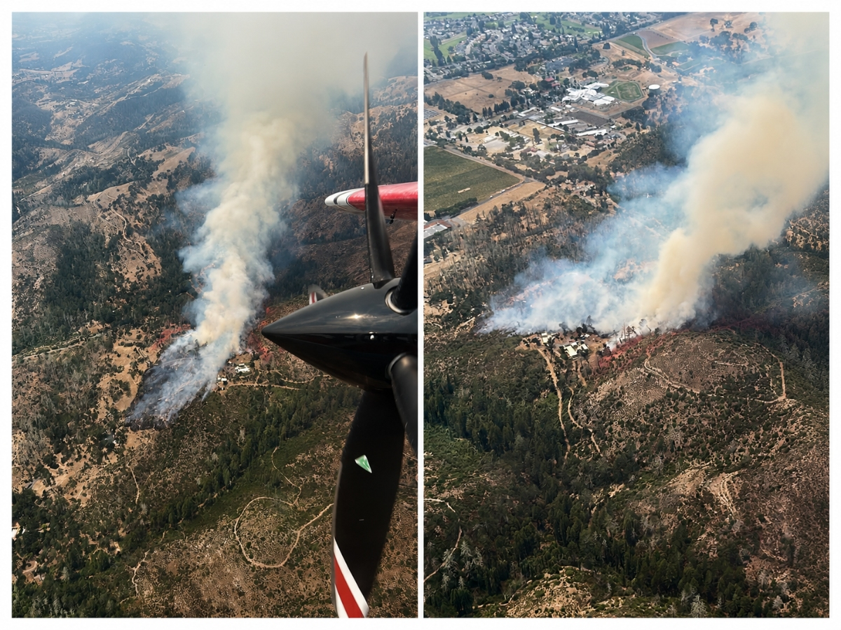
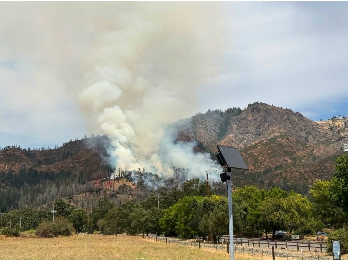
Still burning, the Tubbs Fire was 34,770 acres and 10 percent contained Thursday, while the Pocket Fire north of Geyserville was 8,430 acres with no containment.
The death toll from the Tubbs Fire continues to climb. Sonoma County Sheriff Rob Giordano said in a 6 p.m. briefing Thursday that 17 fatalities have now been confirmed. He read the names of 10 victims who've been positively identified.
Find out what's happening in Sonoma Valleyfor free with the latest updates from Patch.
- Carol Collins-Swasey, 76, of Santa Rosa
- Lynne Anderson Powell, 72, of Santa Rosa
- Arthur Tasman Grant, 95, of Santa Rosa
- Suiko Grant, 75, of Santa Rosa
- Donna Mae Halbur, 80, of Larkfield (Santa Rosa)
- Leroy Peter Halbur, 80, of Larkfield (Santa Rosa)
- Valerie Lynn Evans, 75, of Santa Rosa
- Carmen Caldentey Berriz, 75, of Apple Valley
- Michael John Dornbach, 57, of Calistoga
- Veronica Elizabeth McCombs, 67, of Santa Rosa
Giordano said family members of those he publicly identified Thursday have been notified.
The Sonoma County Sheriff's Office "sent sincerest condolences go out to their friends and family."
BREAKING: As death toll hits 31 from California wildfires, fire official says it is deadliest week of wildfires in state history.
— The Associated Press (@AP) October 13, 2017
The sheriff said 1,100 missing person reports have been filed since the deadly, devastating fire late Sunday and early Monday, with sheriff's investigators still trying to track down 400 missing as the firefighting effort continued Thursday in Sonoma County and across the North Bay.
Sutter and Kaiser have established numbers to find evacuated patients to other facilities. KP: 855-599-0033. Sutter: 866-961-2889
— Sonoma Sheriff (@sonomasheriff) October 12, 2017
Fire officials kept a close eye Thursday on Calistoga, Sonoma and Geyserville, Cal Fire Director Ken Pimlott said in a briefing. Trigger points for evacuations have been established, Pimlott said, urging residents to heed evacuation orders and advisories.
Additional resources continue to arrive from across the state and nation to assist on the fire lines, in the fire-devastated communities and at area shelters filled with more than 4,000 evacuees.
Some 39,000 structures were still being threatened Thursday by the deadly wildfires burning in Napa County and the North Bay since Sunday — two of which merged together overnight, according to Cal Fire. The Nuns Fire, which started Sunday night near state Highway 12 north of Glen Ellen in Sonoma County, merged with the Norrbom Fire east of Boyes Hot Springs.
Part of what Cal Fire is managing as the Central LNU Complex, the more powerful Nuns Fire was 3 percent contained Thursday evening at 17,498 acres.
Along with the Tubbs and Pocket fires, others within the Central LNU Complex include the Adobe Fire, a 7,555-acre blaze near Kenwood in Sonoma County that was 1-percent contained; and the Pressley Fire, which was 1-percent contained at 473 acres east of Rohnert Park.
Nineteen fatalities have been confirmed in the wildfires in Napa and Sonoma counties.
Two people — an elderly couple — died at the onset of the Atlas Fire in Napa County.
Napa County sheriff's officials received 83 missing person reports, with the whereabouts of 50 of those people still undetermined as of Thursday.
Watch: California Lawmakers Tour Napa Destruction
The largest of the wildfires, the Atlas Fire in Napa County, has burned 43,762 acres and has destroyed more than 100 homes and businesses, including 13 in neighboring Solano County. It was 7-percent contained Thursday. There are several other wildfires that have collectively burned tens of thousands of acres in California's iconic wine country region.
The Southern LNU Complex fires, Atlas and Carneros Partrick, have collectively destroyed 181 structures, damaged 27 others and were still threatening 5,000 others in Napa and Solano counties, according to Cal Fire. Carneros Partrick fire, a 10,817-acre blaze that initially broke out late Sunday night off Partrick Road west of the city of Napa, was 3-percent contained Thursday.
According to the County of Sonoma, the following areas remained under mandatory evacuation Thursday from the Central LNU Complex:
Bennett Valley Mandatory Evacuations
- Bennett Ridge Road
- Sonoma Mountain Road
- Enterprise Road
Cloverdale Mandatory Evacuations
- Cloverdale KOA
- Palomino Road
Eldridge Mandatory Evacuations
- Sonoma Developmental Center
Geyserville Mandatory Evacuations
- Nutter Road
- Sellers Road
- River Road
- Fay Ranch Road
- Ridge Oaks Road
- Fox Ridge Road
- Vineyard Road
- Woodridge Road
- Deerpath Drive
- Ram Hill Road
- Rockmouth Road
- Colony Road
- Lakewood Lane
- Highway 128 - Every residence between 1922 Hwy 128 and the Russian River
- Vanoni Road to Gill Creek, all directions
- Highway 128 - East to River Rock Casino. South on 128 to Geysers Road up to Cal Pine.
Glen Ellen and Kenwood Mandatory Evacuations
- Arnold Drive at State hospital in between Madrone Road and Warm Springs Road
- West of Jack London State Park
- All of Glen Ellen
- Enterprise Road
- Wall Road - North of Trinity Road
- Cavedale Road
Knights Valley Mandatory Evacuations
- Porter Creek Road
- Petrified Forest Road
- Ida Clayton Road - from Highway 128 to the county line
Larkfield Mandatory Evacuations
- Faught Road - near Shiloh Regional Park
- Montebello Drive
- Foothill Ranch Road
Penngrove Area Mandatory Evacuations
- Roberts Road
- Lichau Road
- Pressley Road
- Sonoma Mountain Road
Santa Rosa Mandatory Evacuations
- Annadel Heights area, bordered north by Parktrail Drive and west by Summerfield Road
- All of Oakmont
- Montecito Heights neighborhood
- Cross Creek Road
- Sky Farm Neighborhood
- Saint Andrews Drive
- All residences north of Fountaingrove Parkway
- East of Fulton Rd from Guerneville Road to River Road
- Kaiser Permanente Hospital
- Sutter Hospital
- Sky Farm Drive
- Saint Andrews Drive
- Hopper Avenue Area West of Coffey Lane - Between Dennis Lane and Hopper Avenue to the north and south and Coffey Lane and Barnes Road to the east and west
- Rincon Valley – north of Montecito Blvd. from Brush Creek Road to eastern city limits at Calistoga Road
Sonoma Valley Mandatory Evacuations
- Eastern Sonoma Valley - Castle Road north of Lovall Valley Road, and 7th Street North
- Gehricke Road
- Mission Highland
- Norrbom Road
- North of East Napa Street - from 4th Street East to end of E. Napa Street
- Windsor Mandatory Evacuations
- Shiloh Ranch Estates
>>A list of Sonoma County areas under evacuation advisory is on the county's website.
The fire information hotline for Sonoma County residents is 707-565-3856.
RELATED: Northern California Wildfire Latest: Death Toll Climbs To 26; Fires Merge; 191,437 Acres Burned
Bay City News Service contributed to this report.
Photo contributed by Al Francis/Napasonomaphotos.com
Get more local news delivered straight to your inbox. Sign up for free Patch newsletters and alerts.