Weather
Winter Weather Advisory Issued, Snow Estimates Rise: CT Weather
The National Weather Service has issued a Winter Weather Advisory for all of Connecticut and more snow is coming up later this week too.

It looks like winter is starting to pick up after a very, very slow start. An accumulating snowstorm is expected late tonight, Monday morning and more snow is on the way on Wednesday evening too for Connecticut.
The National Weather Service has issued a Winter Weather Advisory for the entire state beginning late Sunday evening and ending around noon Monday. And then more snow is expected to begin late Wednesday into Thursday.
As for the present, it will be chilly during the day today with temps in the upper 30s, but the wind chill factor makes it feel much colder. Temps will drop during the day, setting the stage for snow to move in just before midnight.
Find out what's happening in Across Connecticutfor free with the latest updates from Patch.
Here are the winter weather advisories based on where you live:
Southern Connecticut: Snow and mixed precipitation expected. Total snow accumulations of 2 to 4 inches and ice accumulations of a light glaze expected. WHEN...From 9 PM this evening to 10 AM EST Monday."
Find out what's happening in Across Connecticutfor free with the latest updates from Patch.
Plan on slippery road conditions. The hazardous conditions could impact the morning commute for those working or going to school on Washington`s Birthday."
Hartford CT-Tolland CT-Windham CT: Snow expected. Total snow accumulations of 2 to 4 inches expected.
From 10 PM this evening to 1 PM EST Monday. Most of the snow will fall late tonight through Monday morning, then lighter snow should linger into the afternoon. Plan on slippery road conditions, especially for the Monday morning commute."
Litchfield County: Snow expected. Total snow accumulations of 2 to 5 inches expected.
WHEN...From 9 PM this evening to 1 PM EST Monday. Plan on slippery road conditions and low visibility. Travel will be particularly hazardous late tonight into Monday morning."
See also: Lamont Makes Case For Tolling All Vehicles In CT
Drastic Ban Considered To Curb Youth Vaping Epidemic In CT
Here is a more detailed breakdown of the expected snowy weather: (For more information on this and other neighborhood stories, subscribe to Patch to receive free daily newsletters and breaking news alerts.)
Connecticut coast or I-95 corridor:
Tonight
Snow before 1am, then snow and sleet between 1am and 4am, then freezing rain and sleet after 4am. Low around 29. South wind 5 to 9 mph becoming east after midnight. Chance of precipitation is 100%. Little or no ice accumulation expected. New snow and sleet accumulation of 1 to 3 inches possible.
Washington's Birthday
Snow, freezing rain, and sleet before 10am, then a chance of rain or freezing rain between 10am and 1pm, then a chance of rain after 1pm. High near 35. Wind chill values between 20 and 30. Northeast wind 7 to 10 mph becoming northwest in the afternoon. Chance of precipitation is 80%. New ice accumulation of less than a 0.1 of an inch possible. New snow and sleet accumulation of less than a half inch possible.
Inland sections of Southern Connecticut:
Tonight
Snow, mainly after 10pm. Low around 26. Light and variable wind becoming northeast around 6 mph after midnight. Chance of precipitation is 100%. New snow accumulation of 2 to 4 inches possible.
Washington's Birthday
Snow and freezing rain before 1pm, then a chance of rain or freezing rain between 1pm and 4pm, then a slight chance of freezing rain after 4pm. High near 34. Wind chill values between 20 and 25. Northeast wind around 6 mph. Chance of precipitation is 80%. New ice accumulation of less than a 0.1 of an inch possible. New snow accumulation of less than one inch possible.
Northern Connecticut:
Tonight
Snow, mainly after 11pm. Low around 27. Calm wind becoming northeast around 6 mph after midnight. Chance of precipitation is 100%. New snow accumulation of 2 to 4 inches possible.
Washington's Birthday
Snow, mainly before noon. High near 34. Northeast wind 3 to 7 mph. Chance of precipitation is 80%. New snow accumulation of less than one inch possible.
Monday Night
A slight chance of snow before 8pm. Cloudy during the early evening, then gradual clearing, with a low around 17. Northwest wind 6 to 8 mph. Chance of precipitation is 20%.
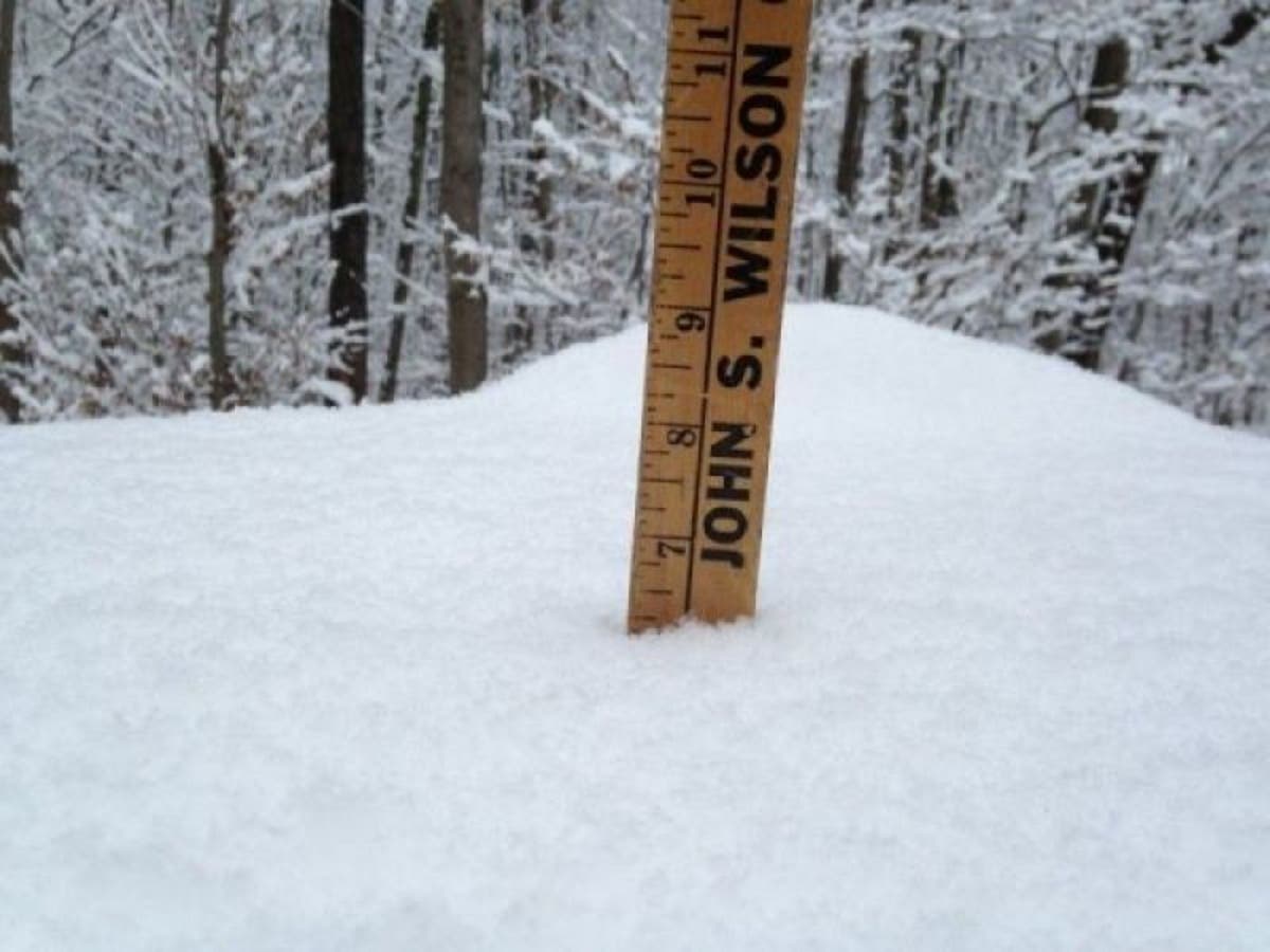
Patch file photo
Get more local news delivered straight to your inbox. Sign up for free Patch newsletters and alerts.


