Weather
Snow Timeline Changes for Connecticut: Saturday Night Update
We have the latest details on how much snow to expect and what impact it may have on Monday's morning commute.


- Updated Sunday snow story. Click here for the latest details.
UPDATE, Saturday 8 p.m. NBC Connecticut Meteorologist Ryan Hanrahan shares on social media Saturday night that he believes most of the accumulating snow will now occur Sunday evening and night, and that it will be warm enough in most places Monday morning for plain rain.
Find out what's happening in Cheshirefor free with the latest updates from Patch.
"Here are a few thoughts on our snow coming tomorrow night. I think that most of our snow accumulation is actually going to be tomorrow evening and night. 1"-3" is possible in many spots - with a touch more toward the Massachusetts border where temperatures stay cooler.
The morning commute will be slick and slushy in many areas inland - but along the shoreline temperatures will be well above freezing. Even in the Hartford area temperatures will be above 32F so it should just be a lingering slush. I expect a bunch of school delays though.
Find out what's happening in Cheshirefor free with the latest updates from Patch.
Prepare for snow and slick roads tomorrow evening and night and improving conditions as time goes on Monday morning. Not a big storm but enough to be a pain," Hanrahan wrote on his Facebook page.
And WTNH Meteorologist Gil Simmons offers a blunt statement regarding the alleged snowstorm.
"Monday morning isn't looking as bad! Do your homework kids!," Simmons wrote.
Original post:
It’s definitely going to be a messy commute in Connecticut Monday morning, but this appears to be a nuisance storm, and not a significant snowstorm headed our way late Sunday into Monday morning.
The latest forecast updates Saturday morning show that temps will be a bit milder than originally expected, which means that the snow will change more quickly to a mix and then plain rain in Connecticut.
This storm also appears to be a classic storm in the sense that areas along the immediate coast will see the changeover quicker while areas inland will see more snow as colder temps hold on a bit longer.
NBC Connecticut Meteorologist Ryan Hanrahan said, “Overnight data supports this forecast from last night. Things are converging on a slightly milder solution which will only result in a little snow... The Monday AM commute looks slushy and just sort of gross - especially inland from the shoreline.
"Overall - it appears we're in good shape here. Light snow Sunday evening... a brief heavier burst after midnight then going over to a mix and rain (for most)," Hanrahan wrote on social media.
How much snow to expect in Connecticut and the timing of the snow via the National Weather Service?
Immediate Connecticut coastline from Greenwich to New London:
Saturday: Cold, high near 35.
Sunday: A 30 percent chance of snow after 3 p.m. Snow, more likely, after 1 a.m. and temps will rise to 39 degrees by 5 a.m. A changeover to rain will occur quickly here. Up to one inch of snow is possible on the immediate coast.
Monday: Rain ends by 3 p.m. Temps balloon to 47 degrees. A half inch of rain is possible.
Interior section of Fairfield, New Haven, Middlesex, and New London counties:
Saturday: Very cold, high below freezing.
Sunday: 30 percent chance of snow after 3 p.m. Snow develops more likely after 9 p.m. Here, the National Weather Service predicts between 3-5 inches of snow. However, Hanrahan and the NBC CT weather team are largely predicting just 1-3 inches for this part of the state.
Monday: Snow to rain, and the rain ends by 3 p.m. A quarter of an inch of rain is possible on top of the snow.
Hartford and Tolland counties:
Saturday: Cold, high near 33 degrees.
Sunday: Slight chance of snow after 4 p.m. High near 35. Snow, likely after 11 p.m. Snow accumulating 1-3 inches.
Monday: Snow continues until noon and then changes to rain. Temps balloon to 41 degrees.
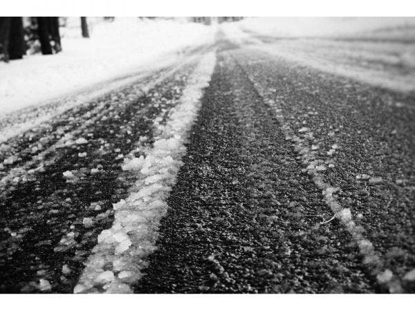
Patch file photo
Get more local news delivered straight to your inbox. Sign up for free Patch newsletters and alerts.