Weather
Here's How Much More Ice, Snow To Expect Friday, Accidents Reported Across CT
The National Weather Service has continued warnings and advisories for Connecticut. Here is what is still to come on Friday.

CONNECTICUT — The story this morning is the sleet, not the snow. The transition from snow to sleet happened faster than expected, and it's causing several problems on the roads Friday morning.
Winter weather advisories continue for southern Connecticut and warnings for northern Connecticut. The mixed precipitation will begin to taper off by early afternoon. Areas in northern Connecticut are still seeing heavy snow early Friday morning as sleet mixes in there.
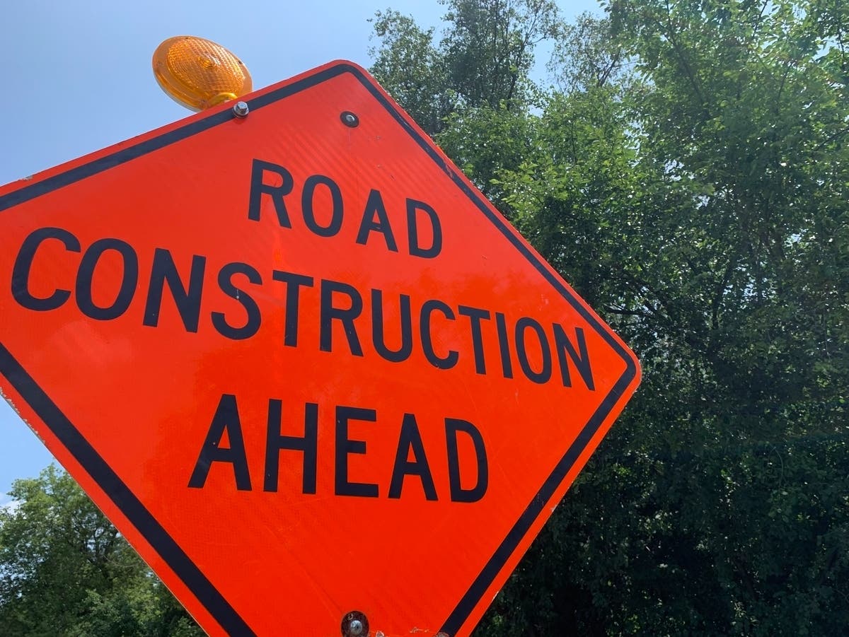
Live traffic updates:
Find out what's happening in Danburyfor free with the latest updates from Patch.
E. HARTFORD - Crash (1 Vehicle) on I-84 Eastbound between Exits 58 and 59. The 2 right lanes are closed. Reported Friday, February 25 at 12:34 pm.
HARTFORD - Crash (2 Vehicle) on I-91 Northbound at Exit 33. The 2 left lanes are closed. Reported Friday, February 25 at 12:43 pm.
Find out what's happening in Danburyfor free with the latest updates from Patch.
DANBURY - Route 7 CLOSED at the Ridgefield Town Line near Wooster Mountain Gun Club, because of Crash (2 Vehicle). Reported Friday, February 25 at 12:54 pm.
See also: Tuition Rates To Increase + Top Official To Depart: CT News
Here are the updated weather statements from the National Weather Service:
I-95 corridor towns: "Combined snow and sleet accumulations of 1 to 3 inches and ice accumulations of up to one tenth of an inch.
Forecast details:
Today: Rain, freezing rain, and sleet before 2pm, then a chance of rain and sleet between 2pm and 4pm. High near 37. Wind chill values between 20 and 30. Northeast wind 7 to 14 mph becoming west in the afternoon. Chance of precipitation is 100%. Total daytime ice accumulation of less than a 0.1 of an inch possible. Total daytime sleet accumulation of less than one inch possible.
Tonight: Partly cloudy, with a low around 17. Wind chill values between 10 and 15. Northwest wind 9 to 11 mph, with gusts as high as 21 mph.
Inland sections of southern Connecticut: "Combined snow and sleet accumulations of 2 to 4 inches and ice accumulations of around one tenth of an inch."
Forecast details:
Today: Freezing rain and sleet before noon, then a chance of rain between noon and 4pm. High near 36. Wind chill values between 20 and 30. Northeast wind 7 to 10 mph becoming west in the afternoon. Winds could gust as high as 20 mph. Chance of precipitation is 100%. Total daytime ice accumulation of around a 0.1 of an inch possible. Total daytime sleet accumulation of less than one inch possible.
Tonight: Partly cloudy, with a low around 15. Wind chill values between 10 and 15. Northwest wind 7 to 13 mph.
See also: CT Town-By-Town COVID Updates: School Cases, Deaths, Red Zones
- Multi-Billion-Dollar Asset Management Firm Expanding To Connecticut
- UConn Investigating Muslim Women's Claims Of Campus Harassment
Hartford/Tolland/Windham County: "Heavy Snow changing to sleet with a bit of light freezing drizzle possible across northwest Rhode Island and northern Connecticut this afternoon as well. Snow accumulations of 4 to 7 inches and ice accumulations of a light glaze of ice in some spots."
"Snow will change to sleet by mid to late morning with a bit of light freezing rain/freezing drizzle possible across northwest Rhode Island and Connecticut."
Forecast details:
Today: Snow and sleet before noon, then freezing rain likely between noon and 2pm, then a chance of snow after 2pm. The snow could be heavy at times. High near 31. North wind 5 to 10 mph becoming light. Chance of precipitation is 100%. Total daytime snow and sleet accumulation of less than one inch possible.
Tonight: A slight chance of snow before 10pm. Cloudy during the early evening, then gradual clearing, with a low around 15. Northwest wind 5 to 13 mph. Chance of precipitation is 20%.
Litchfield County: "Total snow and sleet accumulations of 2 to 4 inches in the southern parts of Ulster, Dutchess and Litchfield Counties, with 4 to 7 inches in northern portions of those counties. Ice accumulations of a light glaze to a tenth of an inch."
Get more local news delivered straight to your inbox. Sign up for free Patch newsletters and alerts.