Weather
Malloy Advises Connecticut Residents to Stay Off Roads if Possible Due to Heavy Snow: UPDATE
As the snow has begun to fall, meteorologists are once again increasing how much snow they expect to accumulate before it ends.

UPDATE 5:15 P.M. Governor Dannel P. Malloy released the following statement regarding the snow condition in the state.
"I continue to receive updates from my state emergency management officials and state police as we closely monitor the storm and its impact throughout Connecticut. Current weather forecast models predict lighter snow in Northwest region of the state, moderate snow in the Hartford and New Haven areas, and moderate to heavy snow in Eastern Connecticut.
At this time, the Department of Transportation has deployed 821 plow trucks throughout the state to clear roads. Visibility and road conditions vary across regions and I strongly encourage everyone to stay safe and to use good judgement.
Find out what's happening in Darienfor free with the latest updates from Patch.
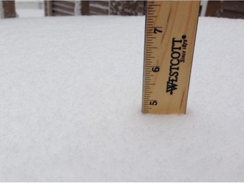
See also: Connecticut Snow Totals, Town-By-Town UPDATED - 1/7/17
Residents who live in areas most impacted by the storm are advised to remain off the roads, if possible. If travel is necessary, motorists are urged to exercise caution, to build in extra travel time, and to practice safe winter driving skills-such as slowing down, increasing following distance, driving in already traveled lanes, keeping headlights on, and avoiding distractions in your vehicle.
Find out what's happening in Darienfor free with the latest updates from Patch.
"We also remind drivers that the state now has three tow plow trucks capable of clearing two travel lanes in a single pass. These trucks are based in the New Haven area, primarily in the I-95/Q Bridge corridor. Motorists are urged to stay clear of snowplows while on the road and are cautioned against trying to pass a snowplow when it is in operation. We will continue to provide updates as needed," Malloy said in a news release to the media.
Up until 4 p.m. State Police have responded to about 115 crashes and 94 motorist assists, mainly spin-outs, vehicles stuck in snow.
NBC Connecticut Meteorologist Ryan Hanrahan said, "Continues to snow heavily to the south and east of Hartford. I expect a band of about 12" from Killingworth to Haddam to Norwich and Moosup. The Hartford area will manage about 5" and the New Haven area will get about 6" or 7" with more out toward Branford & Guilford.
The snow is falling and sticking already in many areas of Connecticut as of noon and it appears the snow accumulation estimates are being bumped up once again.
NBC Connecticut Meteorologist Ryan Hanrahan wrote at noon on his Facebook page, "Another bump up to the snow forecast. Best chance for 10" will be southeast of Hartford."
In his updated snow accumulation map, Hanrahan is now predicting 5 to 10 inches for most of the state including most of Fairfield County. Litchfield County will see the least amount of snow. The National Weather Service has also bumped Hartford County from a Winter Weather Advisory to Winter Storm Warning.
WTNH News 8 Meteorologist Gil Simmons added this new piece of information too: "Heavy snow discussion. Look at the map! 1-2" per hour this afternoon/early eve !!"
Connecticut State Police are asking residents to drive carefully if they need to be on the roadways today.
See also: Portion of Interstate 91 Closed After 20-Vehicle Accident: UPDATE
Original post 9 a.m.
A significant snowstorm has led to the issuance of advisories and warnings for all of Connecticut today and some areas could see as much as 11 inches of snow before it winds down late this evening, according to an updated forecast from the National Weather Service.
Just 24 hours ago this was setting up to just be a nuisance storm with an inch or two forecast for the western half of the state and 3-5 inches in the eastern part. But by mid-afternoon, NBC Connecticut Meteorologist Ryan Hanrahan noted that computer models now showed significantly more snow accumulation.
Winter storm warnings are in effect for New Haven, Middlesex, New London, and Tolland counties. A Winter Weather Advisory is in effect for Fairfield and Hartford counties. Traveling this afternoon is likely to be difficult in most of the state.
Here’s a county breakdown on how much snow to expect and details on timing:
Fairfield County: Snow accumulates 3 to 7 inches. Snow develops this morning and falls moderately at times during the late morning and afternoon. It ends early evening. Temps in the 20s and winds gusting up to 25 mph.
New Haven County: Snow accumulates 4 to 8 inches. Poor visibility when driving late morning and afternoon. Snow develops this morning and will be heavy at times in the late morning and afternoon. It will taper off this evening.
Winds will be gusting up to 25 mph.
Middlesex and New London counties: Snow accumulates 7 to 11 inches. Poor visibility when driving as snow develops this morning and it will be heavy in the late morning and afternoon hours.
The snow ends around midnight. Winds gusting to 30 mph.
Hartford County: Snow accumulating 3 to 6 inches and it begins this morning and continues into the early evening hours before ending around midnight.
Tolland County: Snow will accumulate 5 to 8 inches and it begins this morning and continues into the evening, tapering off late tonight.
Timing of Saturday's Snowstorm
WTNH News 8 Meteorologist Gil Simmons wrote, “Good morning! Simplified snow facts - Start: 11-noon ish End: 8pm-10pm ish How much? 2-4" western CT 4-8" many with UP TO 10" near RI. Plan on very tough driving conditions this afternoon & early evening. Also, clear off a spot so you can measure today's snow only! Be safe & I love this stuff!
NBC Connecticut Meteorologist Ryan Hanrahan wrote, “Here's the timing for (the) storm... share this with your friends to keep everyone up to date!
Start - Snow starts in most areas between 10 a.m. and noon though flurries may begin a bit sooner at the shore and the snow may hold off a bit longer northwest of Torrington.
Peak: Heaviest snow in the afternoon will be in eastern Connecticut but the snow will pick up on the I-91 corridor between 4 p.m. and 7 p.m.
Ending: The snow will wind down after 9 p.m. with most accumulation over by 11 p.m. or midnight.
Amounts: The snow will be very light and fluffy so it will accumulate readily. We're thinking 4"-8" on the I-91 corridor and points east with 2"-4" west of there...”
Patch file photo
Get more local news delivered straight to your inbox. Sign up for free Patch newsletters and alerts.