Home & Garden
Hazardous Weather Outlook Issued For Durham, Middlefield
The worst of the weather is predicted to impact Monday's morning commute as heavy rains and possible flooding are predicted.

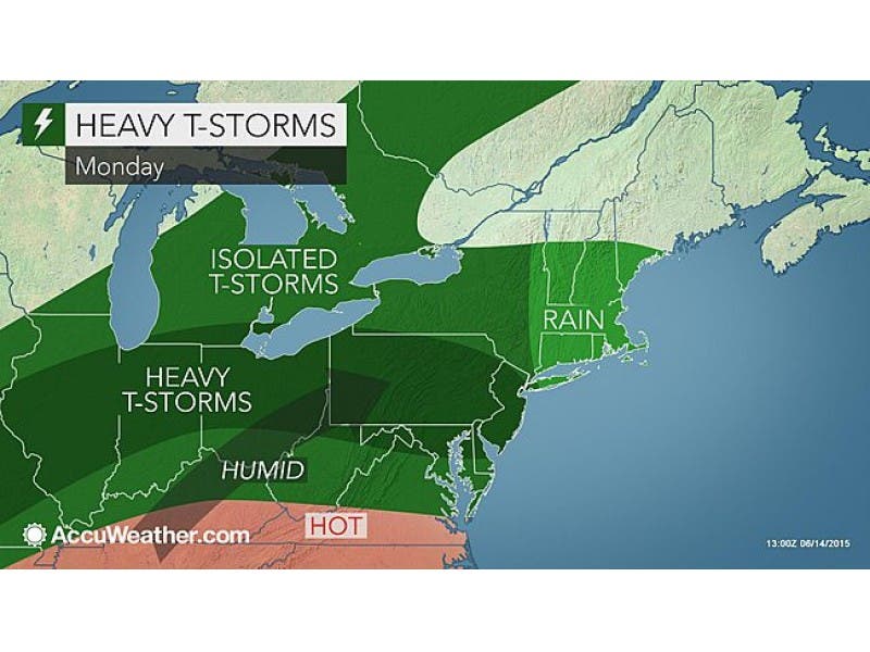
From one day to the next, the weather sure can change. Sunday was sunny and warm but just in time for Sunday night into Monday’s peak commute time, the National Weather Service issued a “Hazardous Weather Outlook” for the entire state of Connecticut.
The worst of this storm will impact Southern Connecticut including all of Fairfield, New Haven, Middlesex, and New London counties.
“There is the potential for locally heavy rainfall late this evening and overnight tonight,” the NWS wrote. “This likely will cause some minor urban and poor drainage flooding and possibly some isolated flash flooding. At this time the heaviest rainfall is expected to begin just prior to the start of the morning commute.”
Find out what's happening in Durham-Middlefieldfor free with the latest updates from Patch.
Meteorologist Gil Simmons confirmed this, saying: “Be ready for heavy rain during the Monday morning commute.”
The heavy rains will continue on Monday, and “widespread minor flooding of urban and poor drainage areas as well as possibly isolated flash flooding,” the NWS said. “The heaviest rain is expected to fall from the morning rush into early afternoon.”
Find out what's happening in Durham-Middlefieldfor free with the latest updates from Patch.
Patch created a new interactive weather page, which gives you the hourly, daily, and 7-day forecast tailored for your local community.
Photo credit: Accuweather.com
Get more local news delivered straight to your inbox. Sign up for free Patch newsletters and alerts.