Community Corner
WEATHER ALERT: Durham, Middlefield Under Blizzard Watch
The heaviest blizzard conditions will occur Monday night into Tuesday.

A blizzard watch is in effect for the Durham, Middlefield area. The National Weather Service posted the following details:
- Hazard types: Heavy snow and blowing snow
- Winds: North 25 to 35 mph, with gusts up to 50 mph
- Visibilities: One quarter mile or less at times.
- Timing: Heaviest snow and strongest winds will occur overnight Monday into Tuesday
- Impacts: Extremely dangerous travel due to heavy snowfall and strong winds with white-out conditions likely
- Secondary and tertiary roads may become impassable
- Strong winds may down power lines and tree limbs
Meteorologist Ryan Hanrahan said: “Worst of the blizzard (wind/snow) will come Tuesday morning around daybreak. It will be a long duration event.”
Meteorologist Gil Simmons urged Connecticut residents to prepare for the storm today.
Find out what's happening in Durham-Middlefieldfor free with the latest updates from Patch.
Durham, Middlefield’s Detailed NWS Forecast
- Sunday: Mostly sunny, with a high near 36. Wind chill values between 25 and 30. Northwest wind 9 to 14 mph.
- Sunday Night: A slight chance of snow after midnight. Increasing clouds, with a low around 12. Wind chill values between 5 and 10. North wind 3 to 6 mph. Chance of precipitation is 20%.
- Monday: A chance of snow before noon, then snow likely with areas of blowing snow after noon. Cloudy, with a high near 24. Wind chill values between 5 and 15. Northeast wind 6 to 14 mph, with gusts as high as 25 mph. Chance of precipitation is 70%. New snow accumulation of less than one inch possible.
- Monday: Night Snow with areas of blowing snow. The snow could be heavy at times. Low around 22. Wind chill values between 5 and 10. Blustery, with a north wind 16 to 25 mph, with gusts as high as 39 mph. Chance of precipitation is 90%. New snow accumulation of 7 to 11 inches possible in Durham; 6 to 10 inches possible in Middlefield.
- Tuesday: Snow with areas of blowing snow. The snow could be heavy at times. High near 25. Windy, with a north wind 21 to 26 mph, with gusts as high as 40 mph. Chance of precipitation is 80%. New snow accumulation of 5 to 9 inches possible.
- Tuesday Night: Snow likely, mainly before midnight. Mostly cloudy, with a low around 14. Chance of precipitation is 60%. New snow accumulation of 1 to 2 inches possible.
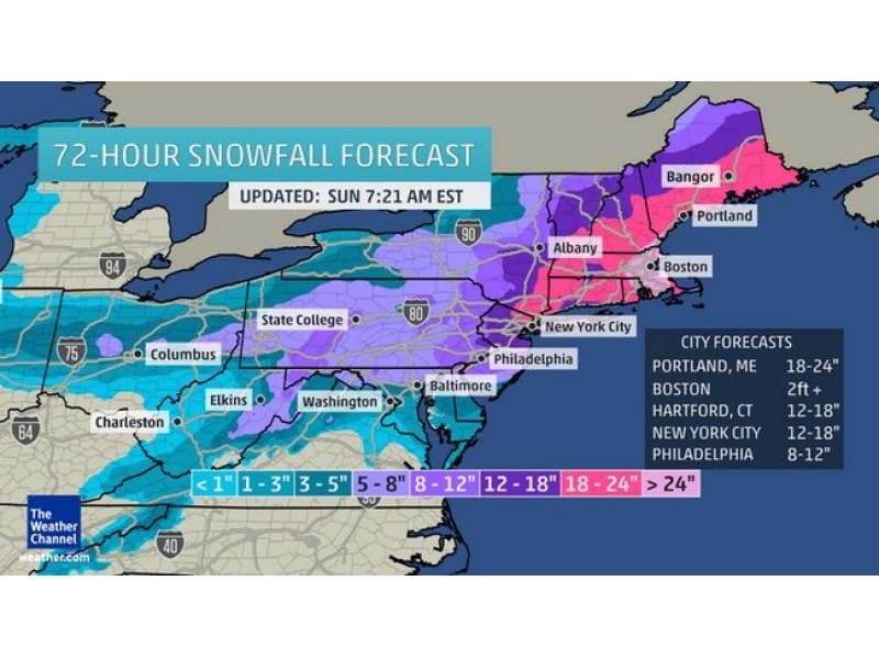
Photo: The Weather Channel
Find out what's happening in Durham-Middlefieldfor free with the latest updates from Patch.
Get more local news delivered straight to your inbox. Sign up for free Patch newsletters and alerts.