Weather
Blizzard Warning Dropped To A Winter Storm Warning In Fairfield
Here's a detailed look at what to expect on this snowy, windy day in Fairfield.

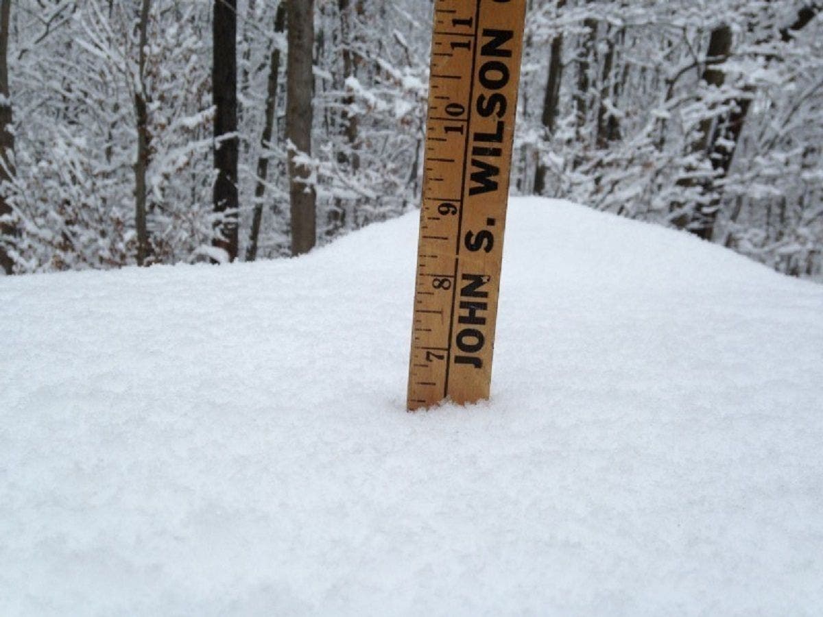
FAIRFIELD, CT — The National Weather Service has issued a Winter Storm Warning for Fairfield on Tuesday. A previous Blizzard Warning has been cancelled as snow is expected to turn to sleet this morning and afternoon, which will limit snow accumulation.
Fairfield could see between 4 and 14 inches of snow and sleet before ending back as snow, the weather service states. Quite a range for sure. The precipitation is supposed to return from a mix to all snow this evening. Gov. Malloy has issued a travel ban for the state, which went into effect at 5 a.m. To sign up for Fairfield breaking news alerts and more, click here.
Here's your detailed forecast via the National Weather Service:
Find out what's happening in Fairfieldfor free with the latest updates from Patch.
Today: Sleet, possibly mixed with snow. The snow and sleet could be heavy at times. Areas of blowing snow after 2 p.m. High near 30. Wind chill values between 15 and 20. Windy, with a northeast wind 24 to 34 mph, with gusts as high as 48 mph. Chance of precipitation is 100%. Total daytime snow and sleet accumulation of 3 to 7 inches possible.
Tonight: A 30-percent chance of snow showers, mainly before 9 p.m. Mostly cloudy, with a low around 20. Wind chill values between 5 and 15. Blustery, with a west wind 18 to 24 mph, with gusts as high as 39 mph.
Find out what's happening in Fairfieldfor free with the latest updates from Patch.
Wednesday: Scattered snow showers, mainly after 11 a.m. Mostly cloudy, with a high near 31. Wind chill values between 10 and 15. Blustery, with a northwest wind 15 to 20 mph. Chance of precipitation is 30%.
Wednesday Night: Mostly cloudy, with a low around 20. Wind chill values between 10 and 15. Northwest wind 11 to 16 mph.
Get more local news delivered straight to your inbox. Sign up for free Patch newsletters and alerts.