Weather
Special Weather Statement Issued for Fairfield
Thunderstorms are on their way and the National Weather Service has a pretty good idea of when they will hit town.


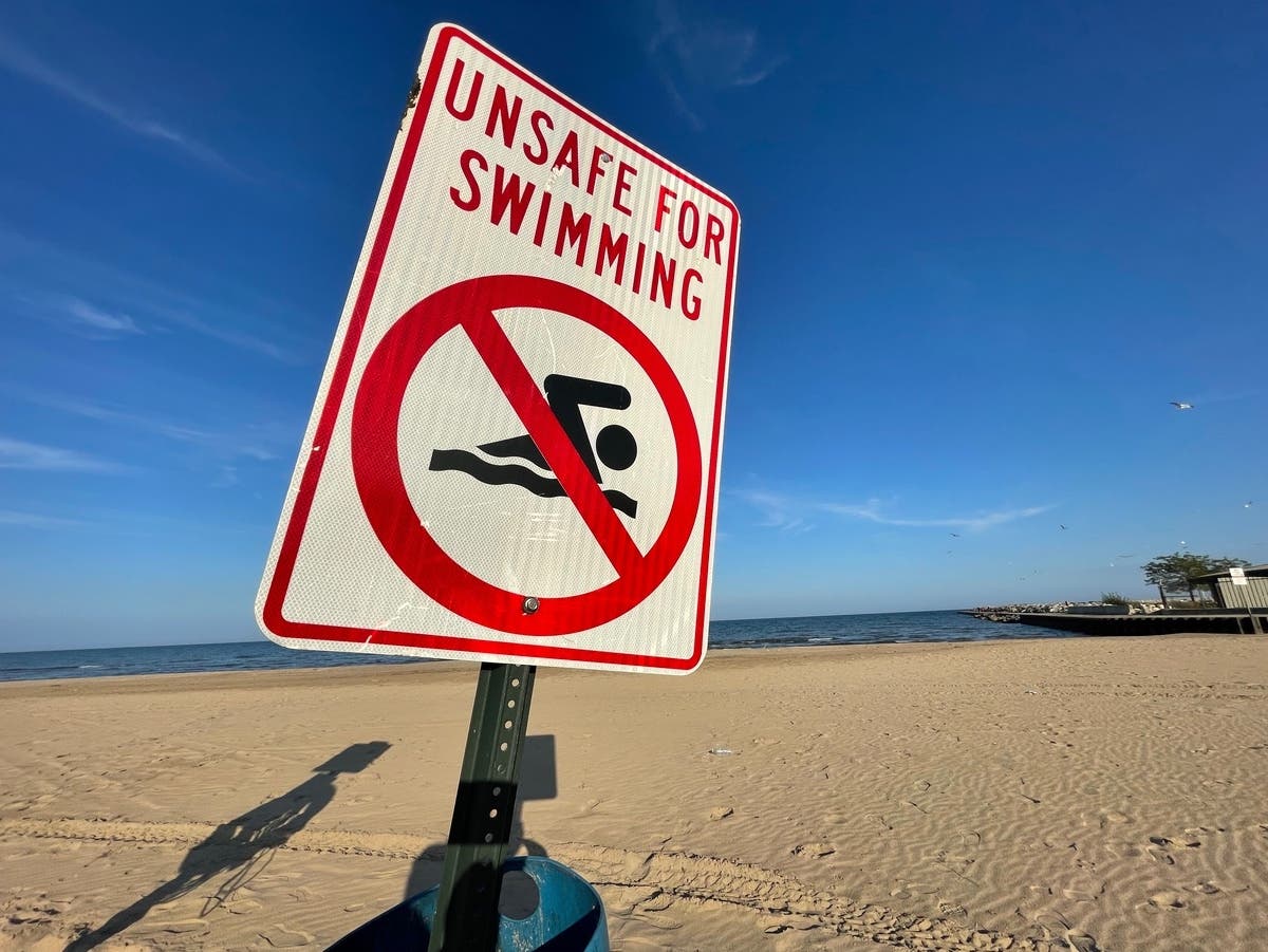
FAIRFIELD, CT—The National Weather Service has issued a Special Weather Statement due to a line of strong thunderstorms that is making its way to Fairfield County.
The statement, via the National Weather Service, is as follows:
AT 255 PM EDT...RADAR INDICATED STRONG THUNDERSTORMS WERE LOCATED
Find out what's happening in Fairfieldfor free with the latest updates from Patch.
ALONG A LINE EXTENDING FROM YORKTOWN HEIGHTS TO NEAR MOUNT KISCO TO
NORTH TARRYTOWN. MOVEMENT WAS EAST AT 25 MPH.
Find out what's happening in Fairfieldfor free with the latest updates from Patch.
WINDS IN EXCESS OF 40 MPH ARE POSSIBLE WITH THESE STORMS.
THESE STORMS WILL BE NEAR...
MOUNT KISCO AROUND 305 PM EDT.
GREENWICH...HARRISON AND BEDFORD AROUND 315 PM EDT.
STAMFORD AROUND 325 PM EDT.
NEW CANAAN AND RIDGEFIELD AROUND 330 PM EDT.
DARIEN...WILTON AND GEORGETOWN AROUND 335 PM EDT.
NORWALK AND WESTON AROUND 340 PM EDT.
WESTPORT AROUND 345 PM EDT.
FAIRFIELD AROUND 355 PM EDT.
OTHER LOCATIONS IMPACTED BY THESE STORMS INCLUDE ARMONK...
PLEASANTVILLE...GOLDEN`S BRIDGE...EASTON...JEFFERSON
VALLEY...IRVINGTON... RYE BROOK...BRIARCLIFF MANOR...THORNWOOD AND
ELMSFORD.
A SEVERE THUNDERSTORM WATCH REMAINS IN EFFECT UNTIL 800 PM EDT FOR
SOUTHERN CONNECTICUT...AND SOUTHEASTERN NEW YORK.
Get more local news delivered straight to your inbox. Sign up for free Patch newsletters and alerts.