Home & Garden
WEATHER UPDATE: Stormy and Foggy Forecast For Glastonbury
The National Weather Service is predicting the chance of strong storms and gusty winds late Monday and into most of Tuesday.


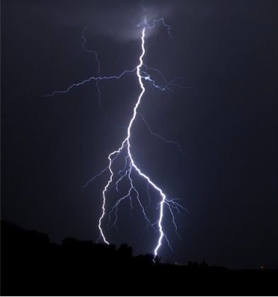
The good news is the stormy weather held off and gave us an amazing day on Sunday, but now that the work week is upon us the weather looks to be getting stormy in Connecticut.
The weather for most of Monday will be fine. Up north in Hartford and Tolland counties it will actually be sunny for most of the day, but then there is a chance of thunderstorms after 7 p.m. and fog is expected to roll in late Monday too. More showers and storms are likely on Tuesday too.
For Fairfield, New Haven, Middlesex, and New London counties the skies will remain mainly grey on Monday but showers and thunderstorms are likely after 10 p.m. The winds will pick up this afternoon gusting up to 29 mph.
Find out what's happening in Glastonburyfor free with the latest updates from Patch.
Strong storms could produce hail, heavy rain, and gusty winds, the National Weather Service writes in its Hazardous Weather Outlook, which is specifically for Tuesday afternoon for Fairfield, New Haven, Middlesex and New London counties.
We’ll keep updating the weather when new advisories and alerts are issued.
Find out what's happening in Glastonburyfor free with the latest updates from Patch.
Here is the National Weather Service’s latest hyperlocal forecast for Glastonbury:
- Today: Showers likely before noon. Cloudy, then gradually becoming mostly sunny, with a high near 77. South wind 10 to 17 mph, with gusts as high as 28 mph. Chance of precipitation is 70%. New precipitation amounts of less than a tenth of an inch possible.
- Tonight: A chance of showers and thunderstorms. Patchy fog after 4am. Otherwise, mostly cloudy, with a low around 64. South wind 10 to 15 mph, with gusts as high as 26 mph. Chance of precipitation is 50%. New rainfall amounts of less than a tenth of an inch, except higher amounts possible in thunderstorms.
- Tuesday: A chance of showers and thunderstorms, then showers likely and possibly a thunderstorm after 2pm. Patchy fog before 8am. Otherwise, cloudy, with a high near 77. South wind 8 to 10 mph. Chance of precipitation is 60%. New rainfall amounts between a quarter and half of an inch possible.
- Tuesday night: Showers and thunderstorms likely before midnight, then a slight chance of showers between midnight and 1am. Mostly cloudy, with a low around 61. Southwest wind 3 to 7 mph. Chance of precipitation is 60%. New rainfall amounts of less than a tenth of an inch, except higher amounts possible in thunderstorms.
Get more local news delivered straight to your inbox. Sign up for free Patch newsletters and alerts.