Weather
Madison's Work Week Forecast: Not a Great Start, Much Better Later
Hopefully, Mother Nature realizes that Memorial Day is around the corner and that is the unofficial start of summer.

Of course we’re two weeks away from Memorial Day and parts of Connecticut actually saw snowflakes this morning.
It was pretty cold this morning and the forecast for the work week improves as the week goes on, especially in time for next weekend. It will actually feel like summer is around the corner instead of a flashback to winter we saw this morning.
There is a chance for some rain in the forecast but nothing too significant.
Find out what's happening in Madisonfor free with the latest updates from Patch.
Here is a detailed look at the 7-day forecast via the National Weather Service:
Monday: Still chilly but sunny with temps in the low 60s.
Find out what's happening in Madisonfor free with the latest updates from Patch.
Monday night: Temps in the upper 40s on the coast and low to mid 40s inland.
Tuesday: Partly sunny with temps in the mid 60s on the coast and near 70 degrees inland. There is a 30 percent chance of an afternoon shower or two.
Tuesday night: Chance of showers through midnight with temps in the mid to upper 40s.
Wednesday: Probably the worst weather day of the week. Mostly cloudy, chance of showers and temps in the mid 60s. The chance for showers is only 30 percent though.
Wednesday night: Temps back into the mid 40s.
Thursday: The warmup begins slowly as we could reach 70 degrees and the sun is back.
Thursday night: Temps near 50 degrees.
Friday: Sun, and temps in the low to mid 70s.
The weekend:
Sunshine both Saturday and Sunday with temps in the low to mid 70s.
Catch up on the top stories of the week:
- Mom Appeals for Help After Son, 5, Killed in Accident; Why Cops Pull You Over and Where; Dog Rescued on I-95: Nearby News
- Balloon Warning Issued: Seriously, This is a Real Thing
- 15 Fabulous Places for Breakfast in Connecticut
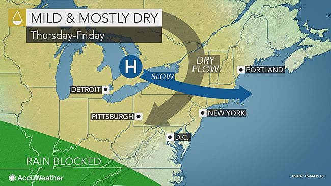
Photo credit: Accuweather.com
Get more local news delivered straight to your inbox. Sign up for free Patch newsletters and alerts.