Weather
Snow Accumulation Estimate Released for Mansfield’s Weekend Snowstorm
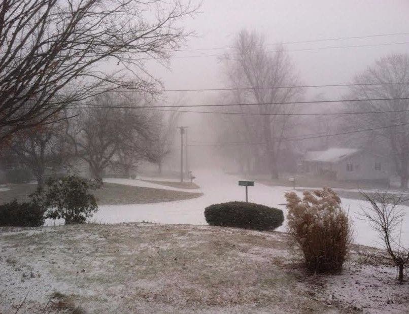
The National Weather Service has released how much snow you can expect from this weekend's snowstorm.

Saturday is still a couple of days away but the National Weather Service has released initial snowfall accumulation estimates, and it looks like this time the entire state of Connecticut will get snow on the ground by Saturday morning, but it’s not going to last.
Temps will rise quickly during the day and snow will turn to rain by noon or early afternoon and then temps spike to 50 degrees on Sunday and it looks like rain for a good chunk of Sunday.
It looks like most of the state will see at least 2 inches of snow but some areas are forecast to receive 3-to-6 inches, and New London County will likely receive the least amount of snow because warmer air will mix in more quickly keeping snow accumulation low. (More on snow accumulation estimates later.)
Find out what's happening in Mansfield-Storrsfor free with the latest updates from Patch.
Before we get to Saturday’s snow, the big story is the coldest air of the season is moving through right now. Hartford and Tolland counties are seeing strong snow squalls this morning and the rest of the state could see some hit and miss snow showers during the day.
In southern Connecticut, a Wind Advisory is in effect from 9 a.m. to 6 p.m. Thursday night, and a High Wind Warning is in effect from 6 p.m. Thursday to 6 a.m. Friday. Winds will be between 20 and 30 mph and gusts could go up to to 50 mph. Power outages are possible, the weather service states.
Find out what's happening in Mansfield-Storrsfor free with the latest updates from Patch.
In Hartford and Tolland counties, the National Weather Service has issued a Wind Chill Advisory from Thursday night to 9 a.m. Friday with winds between 15 and 20 mph and some gusts could hit 60 mph. The temps will be freezing, ranging between 3 and 14 degrees. It will feel much colder.
Here’s a detailed look at how cold it will feel today and how much snow is currently forecast for Saturday in your area:
Southern Connecticut, including Fairfield, New Haven, Middlesex, and New London counties:
Thursday: Mostly sunny, high temps only in the 20s. Strong winds. It feels like 10 degrees with the wind chill factor. Temps in the low teens at night and it feels like zero degrees with strong wind gusts.
Friday: Sunny, high in the low to mid 20s. Snow after midnight, and 1-3 inches of snow is expected overnight. New London County is looking at just one inch overnight though.
Saturday: Snow changes to rain by 10 a.m. on the immediate coast, except in New London County where the changeover is expected by 8 a.m.
Areas inland and away from the coast will see all snow until noon. Areas at the immediate coast will see another 1-3 inches, while areas more inland including Danbury, Ridgefield, Newtown, Southbury, Oxford, Naugatuck, Hamden, and Middletown could see 2-4 additional inches Saturday morning.
In the afternoon and evening, rain is forecast for all of southern Connecticut.
Hartford and Tolland counties:
Today: Snow showers up until noon could dump a quick almost one inch of snow on the area. High temps near 25 degrees and strong winds too. Temps could approach zero tonight in areas and the wind chill factor will make it feel as cold as 14 below zero.
Friday: Sunny, high just near 17 degrees. Wind chill factor makes it feel like 14 below zero. Snow after 2 a.m. and a low of 11 degrees. One inch of snow is expected overnight.
Saturday: Snow before 1 p.m. and then a chance of rain after 2 p.m. Another couple of inches of snow is likely. Temps rise to almost 40 degrees.
Written by Brian McCready, Patch Staff
Photo Credit: Chris Dehnel
Get more local news delivered straight to your inbox. Sign up for free Patch newsletters and alerts.