Community Corner
WEATHER ALERT: Heavy Rain, Some Thunderstorms and Flooding Possible Today
The rain may last into Friday morning and more rain is forecast this weekend but the oppressive heat also ends.

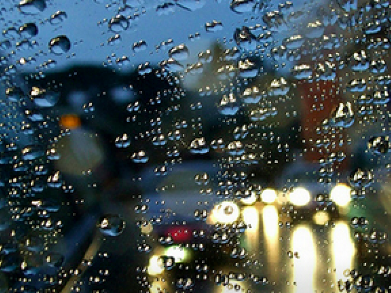
The National Weather Service this morning has reaffirmed its forecast for today, which includes showers, possibly some thunderstorms, and periods of heavy rain throughout Connecticut, which could last until noon time on Friday.
A Hazardous Weather Outlook has been issued for the entire state for possible flooding. In southern Connecticut an advisory is for possible ‘flash flooding,’ and for Hartford and Tolland counties there is an advisory for a “low risk” for flooding this afternoon and tonight after heavy rain and thunderstorms begin.
The entire state is expected to receive more than an inch of rain, which is much-needed considering the fact we haven’t had any rain in almost two weeks.
Find out what's happening in Mansfield-Storrsfor free with the latest updates from Patch.
Another big change you’ll notice today is that temps, which were in the 90s all week will not exceed 80 degrees today, and that trend continues for the next several days.
We can also expect showers on Friday morning and then clouds in the afternoon.
Find out what's happening in Mansfield-Storrsfor free with the latest updates from Patch.
If you have outdoor plans, hopefully it’s on Saturday as the National Weather Service is predicting sunshine and temps in the mid to upper 70s.
Late Saturday, rain is expected and it could continue off-and-on for all of Sunday. The rain chance on Sunday is 50 percent.
Get more local news delivered straight to your inbox. Sign up for free Patch newsletters and alerts.