Community Corner
WEATHER UPDATE: Light Snow Thursday, More Snow on Valentine's Day, and Sub Zero Readings for Mansfield
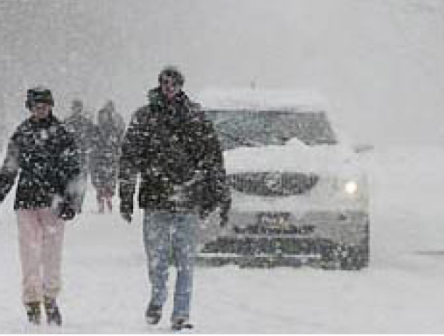
Thursday's snow will likely be a nuisance while more accumulating snow is forecast for Valentine's Day.

By Brian McCready and Barbara Heins.
On Tuesday morning, there was talk the state could be hit with up to six inches of snow on Thursday, well a lot has changed in a day.
Now the latest information shows that the state is looking at just a coating to a maximum of 2 inches tomorrow, says Bob Maxon in an email to Patch.com. Maxon is an NBC Connecticut meteorologist.
Find out what's happening in Mansfield-Storrsfor free with the latest updates from Patch.
While we can all breathe a collective sigh of relief that Thursday’s snow will be nothing more than a nuisance that doesn’t mean we’re out of the woods, not at all.
Maxon says Friday will be cold and windy, and then the next chance for accumulating snow is on Saturday afternoon and into Sunday morning. This latest storm could impact your Valentine’s Day plans.
Find out what's happening in Mansfield-Storrsfor free with the latest updates from Patch.
“Snow possible Saturday afternoon into Sunday AM....looks like 2”- 4” is likely, but a 5 or 6” total would totally surprise me. These “clipper” systems are never easy to nail down 4 days out,” Maxon tells Patch.com.
__________________________
To sign up for breaking Mansfield news alerts and more, click here. ___________________________
And while we’re not talking about huge snowstorms, we’ve clearly run out places to put it, and venturing outside from Friday through Tuesday is not going to be fun, Maxon explains.
“Coldest temps? Impossible to nail....but Monday AM looks coldest. -10 seems possible at Bradley International Airport, -5 in Hartford, -2 in New Haven and -15 or more in Colebrook/Norfolk/Falls Village,” Maxon writes.
Here is the National Weather Service’s hyperlocal forecast for Mansfield and Storrs:
- Thursday: A chance of snow, mainly after 9am. Cloudy, with a high near 26. Light and variable wind. Chance of precipitation is 50%. New snow accumulation of less than one inch possible.
- Thursday Night: A chance of snow, mainly before 1am. Mostly cloudy, with a low around 5. Wind chill values as low as -3. Light northwest wind increasing to 5 to 10 mph in the evening. Winds could gust as high as 24 mph. Chance of precipitation is 50%. New snow accumulation of less than a half inch possible.
- Friday: A slight chance of snow before 8am. Mostly sunny, with a high near 12. Wind chill values as low as -10. Northwest wind 9 to 11 mph, with gusts as high as 31 mph. Chance of precipitation is 20%.
- Friday Night: Partly cloudy, with a low around -4. Northwest wind 3 to 8 mph. Winds could gust as high as 22 mph.
- Saturday: A chance of snow, mainly after 2pm. Mostly cloudy, with a high near 17. Chance of precipitation is 40%.
- Saturday Night: A chance of snow. Cloudy, with a low around 7. Chance of precipitation is 50%.
- Sunday: A chance of snow. Partly sunny, with a high near 14. Chance of precipitation is 30%.
- Sunday Night: Partly cloudy, with a low around -6.
Get more local news delivered straight to your inbox. Sign up for free Patch newsletters and alerts.