Weather
Winter Weather Advisory Issued for Storrs and Mansfield
Accumulating snow is on its way, here's the latest on how much and a timeline of when it will arrive.

Sure, it’s freezing out, temps in parts of Connecticut were near zero this morning and the wind chill factor was below zero in most places. But now, all eyes turn to some accumulating snow that is expected to arrive early Saturday.
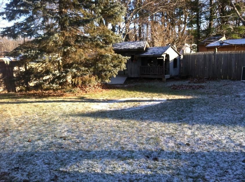
For the first time this season, all of Connecticut will wake up to snow on the ground. The National Weather Service has issued a Winter Weather Advisory for the entire state.
In southern Connecticut, which includes all of Fairfield, New Haven, Middlesex, and New London counties the Winter Weather Advisory is in effect from midnight to 1 p.m. Saturday.
Find out what's happening in Mansfield-Storrsfor free with the latest updates from Patch.
Snow will accumulate 2-4 inches before a mix to freezing rain and then some plain rain by late morning. Hazardous travel conditions are expected due to snow and ice, the weather service states.
In Hartford and Tolland counties, you’ll see more snow, not much more, but a bit more because cooler temps will hold on longer there. The Winter Weather Advisory is in effect from 4 a.m. to 2 p.m. Saturday. Here you’ll see 3-5 inches of snow before it tapers off Saturday afternoon.
Find out what's happening in Mansfield-Storrsfor free with the latest updates from Patch.
WTNH News 8 Meteorologist Gil Simmons said on his Facebook page, Here's your Saturday morning update!!! #SNOW 3" to 4" on average expected! More NW & slightly less SE.
On WTNH News 8, Simmons wrote that the timeline of snow looks like this:
“First as a few flurries after midnight, then a steady accumulating snow develops 2-4 AM. This snow spreads across all of Connecticut through 5-6 AM including the I-95 corridor. Slippery travel is expected statewide through 9-10 AM Saturday. The snow will be moderate to heavy for a couple of hours early in the day.”
NBC Connecticut Meteorologist Darren Sweeney shared this breakdown of the storm on his Facebook page.
“Saturday morning: Expect several inches of snow to pile up. Figure on average 2-4" central CT more NW less SE. There is a chance for a solid 4, 5" amount in the Hartford area.
Snow comes down moderate to perhaps even a heavy burst.
Saturday afternoon: Snow tapers off and will transition over to rain. The problem here is that we will likely have a few hour period of below freezing temps, esp. into the valley locations north.
SATURDAY EVENING: The snow is gone, temps will be rising above freezing. Expect just some fog, drizzle or a quick shower or rain. Roads should be improving by the evening. MESSY.. but improving (expect the normal post snow storm type of stuff, but with temps rising, crews will be able to get main roads cleared fairly quickly.
Saturday night/Sunday: It will be a pea soup kind of forecast. Heavy areas of fog, rising temps and by Sunday, highs in the 50s with some rain.”
Written by Brian McCready, Patch Staff
Photo Credit: Chris Dehnel
Get more local news delivered straight to your inbox. Sign up for free Patch newsletters and alerts.