Community Corner
National Weather Service Predicts Less Snow, Still Slush for Wed.
Winter Storm "Watch" is now an "Advisory."

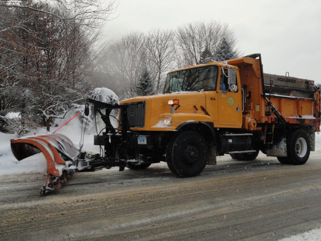
Update - Wednesday, 1:02 a.m.
The National Weather Service has downgraded its "Winter Storm Watch" from early Tuesday to a "Winter Storm Advisory," which means Meriden might see less snow Wednesday than residents expected.
The NWS says there will likely be snow before 5 p.m. Wednesday, and then snow and sleet, but with an accumulation of just about 1 to 2 inches – less than the maximum 4 inches expected early Tuesday. Wednesday night, forecasters say they expect less than one more inch to accumulate.
Find out what's happening in Meridenfor free with the latest updates from Patch.
Below is the National Weather Service's full forecast for Meriden through the end of the work week:
Wednesday: Snow before 5pm, then snow and sleet. High near 35. Calm wind becoming east between 4 and 7 mph. Chance of precipitation is 100%. New snow and sleet accumulation of 1 to 2 inches possible.
Wednesday Night: Rain and snow before 8pm, then rain and sleet. Low around 29. East wind between 7 and 15 mph. Chance of precipitation is 100%. New snow and sleet accumulation of less than one inch possible.
Thursday: Snow, freezing rain, and sleet likely before 9am, then a chance of rain. Cloudy, with a high near 44. Calm wind becoming north around 6 mph. Chance of precipitation is 60%. New snow and sleet accumulation of less than a half inch possible.
Thursday Night: Mostly cloudy, with a low around 29. North wind between 3 and 6 mph.
Friday: Partly sunny, with a high near 43.
Friday Night: A chance of showers after midnight. Mostly cloudy, with a low around 36. Chance of precipitation is 30%.
Find out what's happening in Meridenfor free with the latest updates from Patch.
Original Story - Tuesday, 9:41 a.m.
Just when we thought we might sneak through this winter without a lot of slush, the National Weather Service has posted a winter storm watch for Meriden and much of Connecticut predicting snow, freezing rain and sleet for Wednesday and Thursday of this week.
Snow is expected to start Wednesday after noon, with a possible accumulation of 2 - 4 inches on the area. The National Weather Service says we can expect the snow to turn into rain, snow, freezing rain, and sleet before midnight, continuing through the night.
On Thursday, the wintry mix is predicted to turn solely to rain after 10 a.m. and continue through the day.
The wintry mix could make driving dangerous Wed. afternoon through Thursday morning, the National Weather Service warns.
The Meriden Health Department recommends taking a look at the city's emergency planning guide before the storm for tips and recommendations. The city also has a that talks about parking bans and snow removal. Both are attached as PDF's to this article.
Get more local news delivered straight to your inbox. Sign up for free Patch newsletters and alerts.