Community Corner
WEATHER ALERT: Black Ice, More Snow in Monroe's Forecast
The National Weather Service says a Nor'easter is possible for Monday night into Tuesday.

Winter may have started slowly this year but it’s looking to make up for lost time quickly.
After a quick burst snowstorm dumped 4-8 inches of snow on Connecticut early this morning there has been a lull for most of the late morning and early afternoon hours.
And as the temperatures dip back into the 20s tonight, the National Weather Service is issuing a special weather bulletin urging residents to be vigilant of black ice.
Find out what's happening in Monroefor free with the latest updates from Patch.
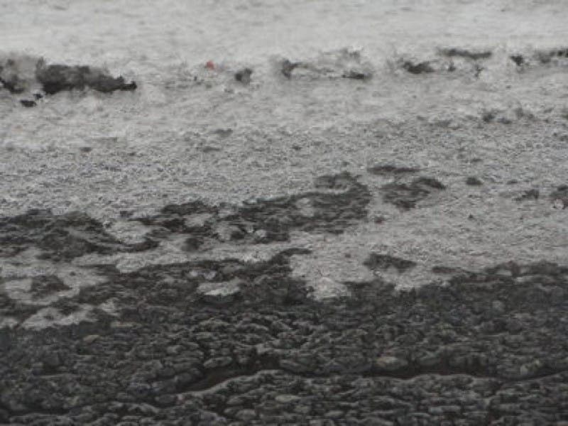
Black ice will form overnight on untreated surfaces as temperatures fall below freezing.
Melted snow from this morning’s storm “will refreeze creating hazardous conditions on surfaces that have been cleared of snow but untreated for ice,” the National Weather Service predicts.
Find out what's happening in Monroefor free with the latest updates from Patch.
Black ice conditions are likely beginning around midnight and into Sunday morning.
And to add insult to injury, the National Weather Service is already predicting that a Nor’easter is possible for Monday night into Tuesday. We’ll update that story once we have more information.
But already one prominent local weatherman, Ryan Hanrahan, of NBC Connecticut, wrote on social media, “Weather hype drives me absolutely insane. But, once in a while it’s time to sound the alarms. The Monday night/Tuesday event is quickly escalating into a major winter storm. The could be a BIG one - stay tuned!!!”
For related stories:
Get more local news delivered straight to your inbox. Sign up for free Patch newsletters and alerts.