Community Corner
Connecticut Weather Forecast: Latest Snowfall Accumulation Estimates for Spring Snowstorm
Snowfall accumulation estimates have changed significantly in parts of Connecticut over the past 24 hours. Here's the latest info.

Remember those predictions yesterday about a major Nor’Easter dumping between 6 to 12 inches of snow on most of Connecticut.
Well you can throw that out the window as of right now, because the storm is tracking more off-shore, which means some of Connecticut will still see a light-to-moderate snow accumulation while others will see only a nuisance amount of snow.
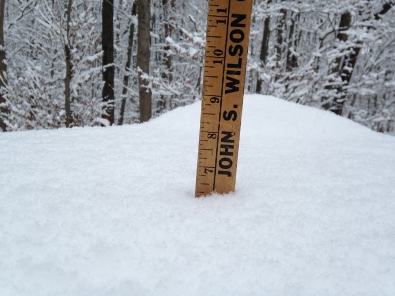
You know it’s been an odd winter when New London County has been the big snow accumulation winner in Connecticut. And that string of luck continues with this storm.
It appears areas of Connecticut on the south and eastern side of the state will see the most snow from this first day of spring snowstorm.
NBC Connecticut Meteorologist Ryan Hanrahan who has been tracking this coastal storm for a week now, said in a Friday afternoon update that “First cut at snow totals. Lots of uncertainty here - but I am more confident that a major/blockbuster storm (10"+) is not likely.”
NBC Connecticut and Hanrahan is predicting 1 to 3 inches total for the western half of the state running north and south and 3-6 inches for areas east of New Haven and Hartford.
News 12 CT is predicting 2-5 inches of snow for Connecticut with possibly higher amounts in the eastern part of the state.
Here are the latest snowfall predictions from the National Weather Service, which still has a Hazardous Weather Outlook issued for the state on Sunday.
Fairfield and New Haven County:
Snow starts after noon Sunday, 1 to 3 inches during the day and another 1 to 3 inches overnight ending Monday morning early.
Middlesex County:
Snow starts after noon accumulating 1 to 2 inches during the day and another 2 to 4 inches overnight, and it ends around 8 a.m. Monday.
New London County:
Snow start early Sunday afternoon accumulating 1 to 3 inches and another 2 to 4 inches overnight before it ends around 8 a.m. Monday.
Tolland and Hartford County:
Snow begins later here, closer to 5 p.m. Sunday, and ends early Monday morning. Right now the National Weather Service is only predicting around an inch or two of total accumulation.
Other top Connecticut Patch stories:
Get more local news delivered straight to your inbox. Sign up for free Patch newsletters and alerts.