Weather
Connecticut Weather Forecast: Some Areas Could See Up to 18 Inches Thursday
New evening weather models are confirming that the storm will be a "crusher" for Connecticut, according to a top meteorologist.

NBC Connecticut Meteorologist Ryan Hanrahan provides the latest update on a major winter storm that is headed toward Connecticut Thursday morning.
In a 10 p.m. update, Hanrahan wrote on his social media page that, "Our first computer model of the evening comes in with a crusher. An incredibly impressive storm from the morning through early afternoon. Most areas will get about a foot BUT there are definitely signs that a narrow band of extremely heavy snow will setup and dump more than that - maybe 18" or so? We don't know where it sets up yet but be aware that some towns will get crushed with a super high impact and short duration storm.
Gov. Dannel P. Malloy, in a statement said he is also asking nonessential first and second-shift state employees to stay home on Thursday, February 9, 2017 in advance of the coming winter storm. The Governor also announced that he will activate the state's Emergency Operations Center (EOC) on Thursday at 5:00 AM to continue coordinating the state's response to the storm.
Find out what's happening in New Canaanfor free with the latest updates from Patch.
"All indications are that this will be a fast-moving, challenging storm," said Governor Malloy in a news release. "We need roads clear so that emergency personnel and utility crews can do their job. As such, I urge all Connecticut residents to stay off the roads unless absolutely necessary. If employers can allow people to work from home or alter their hours, I encourage them to do that as well."
Forecasts predict snow to begin falling in the early morning, with the potential for very heavy snowfall between 8:00 AM and 1:00 PM. Very slick driving conditions are expected with low visibilities down to one quarter mile at times. Near blizzard conditions are expected at times; with snowfall rates up to 3 inches per hour through the rest of the morning as temperatures continue to fall into the upper 20s by noon, with snow tapering off during the afternoon.
Find out what's happening in New Canaanfor free with the latest updates from Patch.
State officials warn that even with the full fleet of snow removal equipment deployed throughout the state, keeping the roads clear during such a heavy snow fall will be a challenge. As such, the Governor encourages motorists to stay safe and off the road during the window of peak snowfall. Residents who can work from home are urged to do so. And businesses are encouraged to provide employees such an option if possible.
All state employees are encouraged to monitor the “Notification of Early Release/Late Opening for State Offices” page on the state’s Division of Emergency Management and Homeland Security website for the latest updates on state office closures. In related news, the State of New York has issued a tandem trailer ban on several portions of its state highway system beginning 12:00 AM Thursday, February 9.
ICYMI: Blog post on tomorrow's storm... here's my latest thinking. #nbcct https://t.co/vLVlsP9xe7 pic.twitter.com/1eR1jtuEy2
— Ryan Hanrahan (@ryanhanrahan) February 9, 2017
Original Post:
Mother Nature’s twisted sense of humor is very much on display as temps exceeded 60 degrees in places in Connecticut on Wednesday, but by Thursday afternoon temps will be in the 20s and there is likely to be nearly a foot of snow on the ground too.
It’s really a remarkable turnaround in 24 hours, and two leading Connecticut meteorologists say they’ve now upped their snow accumulation totals for Thursday. Southern Connecticut had been looking at 6-10 inches of snow and northern Connecticut 8-12 inches of snow.
Now, NBC Connecticut Meteorologist Ryan Hanrahan and WTNH News 8 Meteorologist Kevin Arnone are both forecasting 8-14 inches for the entire state of Connecticut. Hanrahan added on his social media page that as of right now he’s uncertain which areas will end up with the jackpot of 14 inches.
The National Weather Service has a Winter Storm Warning in effect for all of Connecticut for Thursday.
If you want to receive real-time notifications of school cancellations and important weather updates, click here to sign up for your free Patch news alert.
Timeline of the Fast and Furious Snowfall
What’s truly remarkable about this storm is that most of the accumulation should occur in six hours.
“Updated snow accumulation forecast - the heaviest snow comes between 8 a.m. and 2 p.m.,” Hanrahan said, while noting Bridgeport reported a high temp of 63 degrees today, which is the sixth warmest temperature recorded ever on the shoreline in February. “What's most impressive about this storm is that most of the snow is going to fall in a 6 hour blitz.”
Arnone said he too raised snow accumulation estimates and the first flakes will begin around 4 a.m. on the New York/Connecticut line and move through the rest of the state by 7 a.m. He said to expect snowfall rates of 1-2 inches per between 10 a.m. and 2 p.m.
See also: Malloy Proposes Tax Hikes to Help Solve CT's Massive Budget Deficits
The snow will wind down around 3 p.m. in the western part of Connecticut and should be completely gone around 6 p.m., Arnone said.
And Arnone noted that the temp will still be around 40 degrees at midnight and in the 30s by morning. But temps will keep falling into the 20s Thursday afternoon and into the teens and single digits Thursday night. With strong wind gusts it could feel around zero late Thursday.
Updated snow accumulation forecast - the heaviest snow comes between 8 a.m. and 2 p.m. #nbcct pic.twitter.com/BienuXqRjJ
— Ryan Hanrahan (@ryanhanrahan) February 8, 2017
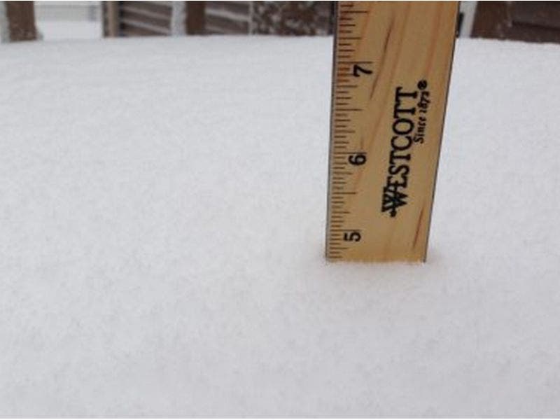
Patch file photo
Get more local news delivered straight to your inbox. Sign up for free Patch newsletters and alerts.