Community Corner
Blizzard Warning In Effect For Newtown: Here's What To Expect
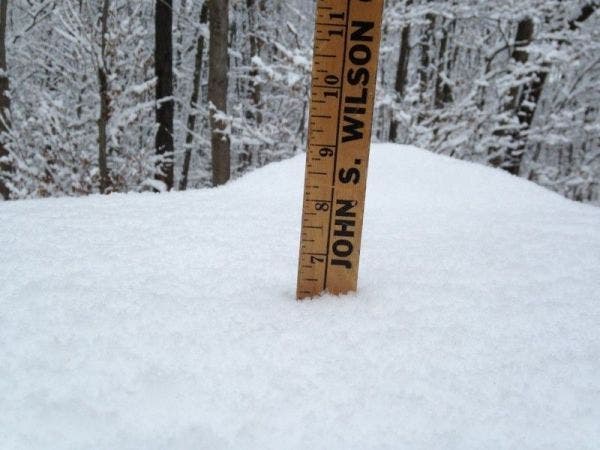
Here's a detailed look at what to expect on this snowy, windy day.

NEWTOWN, CT — The National Weather Service has issued a Blizzard Warning for Newtown on Tuesday.
Here we can expect one to two feet of snow and snowfall rates of 2-4 inches per hour. Winds could gust in excess of 45 mph at times. There may be a period of mixing too in the afternoon. To sign up for Danbury breaking news alerts and more, click here.
Here's your detailed forecast via the National Weather Service:
This Afternoon
Snow. The snow could be heavy at times. Widespread blowing snow before 2pm. High near 26. Wind chill values between 5 and 10. Windy, with a northeast wind 21 to 28 mph, with gusts as high as 41 mph. Chance of precipitation is 100%. Total daytime snow accumulation of 10 to 14 inches possible.
Find out what's happening in Newtownfor free with the latest updates from Patch.
Tonight
Snow showers likely, mainly before 10pm. Mostly cloudy, with a low around 16. Wind chill values between 5 and 10. Blustery, with a northwest wind 14 to 20 mph, with gusts as high as 34 mph. Chance of precipitation is 60%. New snow accumulation of less than one inch possible.
Wednesday
Scattered snow showers, mainly after 11am. Mostly cloudy, with a high near 28. Wind chill values between 5 and 15. Northwest wind 11 to 14 mph. Chance of precipitation is 30%.
Find out what's happening in Newtownfor free with the latest updates from Patch.
Get more local news delivered straight to your inbox. Sign up for free Patch newsletters and alerts.