Home & Garden
Snowfall Predictions Made for North Haven's Weekend Nor'Easter
We'll let you know the latest information on how much snow you can expect and the timing of the storm.

By Brian McCready
Less than 48 hours away from the forecasted snowtime and uncertainty is still high on how much, and if some places in Connecticut, especially in far northern portions of the state, will even see plowable snow.
Adding to the intrigue, is the fact that just to the south of Connecticut on Long Island a “Blizzard Watch” has been issued.
Find out what's happening in North Havenfor free with the latest updates from Patch.
But meteorologists say 50 miles can make or break it on whether you’ll see major snow or just a few inches.
As of Thursday morning, this is the latest thinking on this weekend’s Nor’Easter:
Find out what's happening in North Havenfor free with the latest updates from Patch.
The immediate Connecticut Shoreline from Greenwich to New London could see more than six inches of snow and gusty winds in excess of 50 mph. But once you move inland slightly, accumulation could be just a few inches, and northern Connecticut may be looking at an inch or two tops.
“If you’re not a fan of the snow I have some good news,” NBC Connecticut Meteorologist Ryan Hanrahan wrote on Facebook at 8 a.m.
On his blog, Hanrahan writes:
- Accumulating snow is still a good bet for many areas in Connecticut – though there is a rising chance for a total shut out (read: 0.0″) north of I-84.
- The heaviest snow will fall in southern Connecticut where 3″-6″ is the most likely scenario.
- Based on the overnight trends, it’s certainly possible that we will need to lower our snowfall forecast across the state if trends continue this afternoon.
- Minor to moderate coastal flooding is expected on Long Island Sound with astronomically high tide and a 1.5-3.0 foot storm surge.
WTNH News 8 predicts 4 to 8 inches of snow at the immediate shoreline and 3 to 6 inches for a bulk of the rest of Connecticut.
When will the snow begin?
Earlier this week, the snow was expected to fall after midnight on Friday, but now it’s being delayed. The heavier snow won’t start until Saturday afternoon or evening and taper off after midnight and end all together early Sunday.
North Haven’s latest National Weather Service storm forecast:
- Saturday: Snow likely, mainly after 9am. Cloudy, with a high near 31. Blustery, with a northeast wind 14 to 22 mph, with gusts as high as 36 mph. Chance of precipitation is 70%. New snow accumulation of 2 to 4 inches possible.
- Saturday Night: Snow. Low around 23. Blustery. Chance of precipitation is 80%. New snow accumulation of 2 to 4 inches possible.
- Sunday: A chance of snow before noon. Cloudy, then gradually becoming mostly sunny, with a high near 35. Chance of precipitation is 40%.
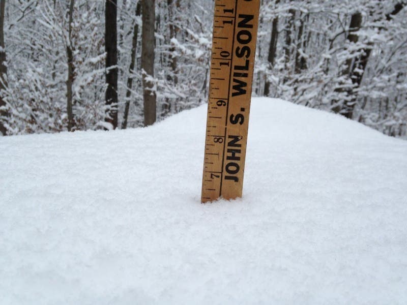
Patch file photo
Get more local news delivered straight to your inbox. Sign up for free Patch newsletters and alerts.