Community Corner
South Windsor Now Facing a Winter Storm Warning
The National Weather Service has upgraded from an advisory to a warning for South Windsor.

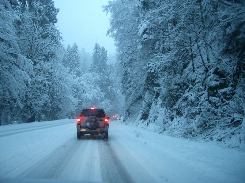
Once again, things have changed for this weekend’s storm and the National Weather Service has issued a Winter Storm Warning for South Windsor. It had issued an advisory early Friday.
The Winter Storm Warning is in effect from midnight until 7 p.m. Saturday.
The weather service predicts that the heavy wet snow combined with some sleet and freezing rain could make travel treacherous and the weight of the snow could knock down some tree limbs and power lines.
Find out what's happening in South Windsorfor free with the latest updates from Patch.
The full NWS outlook for South Windsor is below:
- Tonight: Snow likely, mainly after 4am. Increasing clouds, with a low around 26. South wind around 6 mph becoming calm in the evening. Chance of precipitation is 60%. Total nighttime snow accumulation of less than one inch possible.
- Saturday: Snow and sleet, possibly mixed with freezing rain, becoming all snow after 3pm. High near 34. Light north wind increasing to 5 to 10 mph in the morning. Chance of precipitation is 100%. New snow and sleet accumulation of 3 to 7 inches possible.
- Saturday Night: A chance of snow, mainly before 7pm. Mostly cloudy, with a low around 26. Northwest wind 7 to 11 mph becoming west after midnight. Chance of precipitation is 30%. New snow accumulation of less than a half inch possible.
- Sunday: Mostly sunny, with a high near 34. Northwest wind 8 to 11 mph, with gusts as high as 23 mph.
- Sunday Night: Mostly cloudy, with a low around 15. North wind 5 to 7 mph.
- Monday: A slight chance of snow showers after noon. Mostly cloudy, with a high near 22. Chance of precipitation is 20%.
Find out what's happening in South Windsorfor free with the latest updates from Patch.
Get more local news delivered straight to your inbox. Sign up for free Patch newsletters and alerts.