Community Corner
UPDATE: Wallingford Blizzard 2015: Latest Forecast, School Closings and More
Check this post to get all your storm-related coverage for Wallingford.

- Wallingford’s Hour-By-Hour Blizzard Forecast
- 48-Hour Power Outages Possible in Connecticut: Malloy
- Wallingford Public School System Makes Decision for Tuesday
Updated National Weather Service Forecast, 10 p.m.
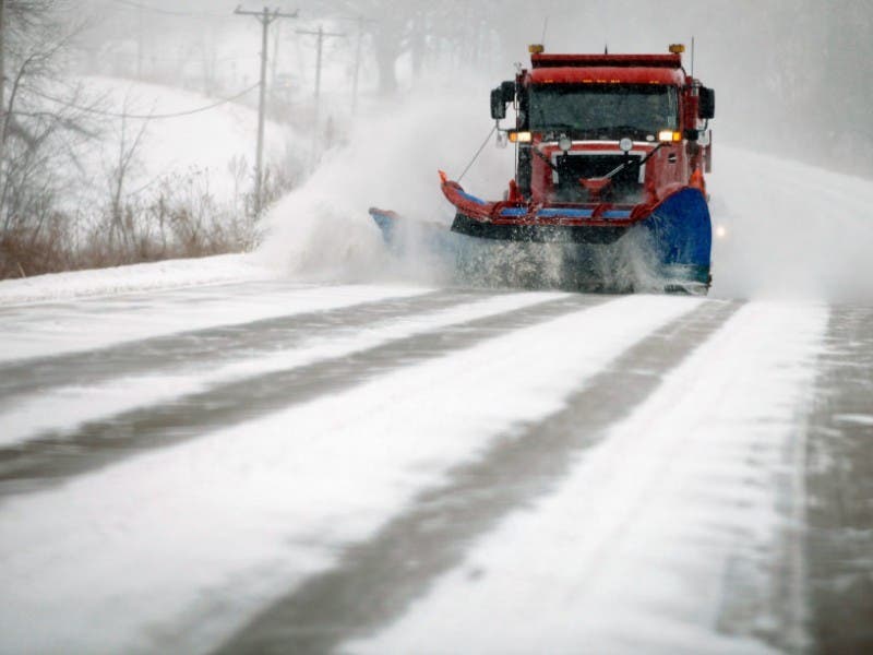
A Blizzard Warning remains in effect until 12 a.m. on Wednesday, Jan. 28. The National Weather Service is predicting accumulations of 20 to 30 inches of snow with snowfall rates of 2 to 4 inches overnight into Tuesday morning.
- Overnight: Snow with widespread blowing snow. The snow could be heavy at times. Some thunder is also possible. Low around 19. Wind chill values between 5 and 10. Blustery, with a north wind around 21 mph, with gusts as high as 34 mph. Chance of precipitation is 100%. Total nighttime snow accumulation of 10 to 14 inches possible.
- Tuesday: Snow with widespread blowing snow. The snow could be heavy at times. Some thunder is also possible. High near 23. Wind chill values between 5 and 10. Blustery, with a north wind 17 to 22 mph, with gusts as high as 36 mph. Chance of precipitation is 100%. New snow accumulation of 9 to 13 inches possible.
- Tuesday Night: Light snow, mainly before midnight. Low around 11. Wind chill values between zero and 5. North wind 10 to 15 mph, with gusts as high as 31 mph. Chance of precipitation is 100%. New snow accumulation of 1 to 2 inches possible.
- This story will be updated throughout the day to bring you the latest storm-related news:
Governor Malloy Issues Travel Ban for Connecticut for Monday Evening
Find out what's happening in Wallingfordfor free with the latest updates from Patch.
Check out Wallingford’s hour-by-hour weather outlook for the blizzard and when to expect the real stuff here.
Update, 11:30 a.m.: Wallingford Public Schools are closed for Tuesday, Jan. 27.
Find out what's happening in Wallingfordfor free with the latest updates from Patch.
Update: Tonight’s Board of Education meeting has been canceled.
Original story
A blizzard warning remains in effect from 1 p.m. today until midnight Tuesday but the National Weather Service has already scaled back its accumulation estimates.
Don’t get us wrong, we’re still talking a blizzard, and the snow will be measured in feet, but the weather service is now predicting a snowfall accumulation of 18-24 inches of snow.
Yesterday, the National Weather Service was predicting up to 30 inches of snow.
Winds will also be blowing between 20-30 mph with gusts exceeding 55 mph at times.
If you need to get out and do last minute preparations or if you went to work on Monday you should be able to get home just fine.
Some light snow is expected this morning with snow showers set to begin around 2 p.m. and about 1-3 inches of accumulation is expected by the evening commute.
The heaviest snow and winds are expected beginning after midnight and continuing until Tuesday afternoon.
The National Weather Service states the impacts from this blizzard are “life-threatening conditions and extremely dangerous travel due to heavy snowfall and strong winds with whiteout conditions, many roads may become impassable, strong winds may down power lines and trees.”
Get more local news delivered straight to your inbox. Sign up for free Patch newsletters and alerts.