Community Corner
Hazardous Weather Outlook Issued for West Hartford
Not only is it freezing out, but there could be some snow later in the week.

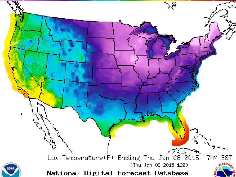
The weather outside is so frightful that the National Weather Service has issued both a “Hazardous Weather Outlook,” and a wind chill advisory beginning at 7 p.m. tonight and running through 10 a.m. Thursday.
The advisory and hazardous weather outlook is for dangerously cold temperatures and subzero windchills. Wind chill readings could be as low as 15 below tonight. Please stay indoors if you can and make sure your pets are safe and inside.
The National Weather Service cautions that if you’re outside for too long you could develop frostbite.
Find out what's happening in West Hartfordfor free with the latest updates from Patch.
To sign up for breaking news alerts and more, click here.
For the rest of Wednesday, the high temperature will reach 27 degrees but wind gusts will make it feel like 0 degrees.
Find out what's happening in West Hartfordfor free with the latest updates from Patch.
Tonight the temperature drops to around 0 degrees with wind chills dangerously reaching 15 below zero.
Thursday, temps will hit 20 degrees, but windchills will make it feel like 10 below zero at times.
Thursday night temperatures will be around 16 and the windchill will make it feel like 5 degrees.
And as we mentioned up higher, there is a chance of some snow on Friday. There is no estimation on whether the snow will accumulate as of now.
More stories on Patch:
Get more local news delivered straight to your inbox. Sign up for free Patch newsletters and alerts.