Weather
Snow Accumulation Estimates Increasing for Most of Connecticut
A top Connecticut meteorologist said new computer models now reveal more snow for most of the state than originally anticipated.

Uh-oh! Snow accumulation estimates for Saturday’s snowstorm are on the rise and a top Connecticut meteorologist says the “storm is looking like a much bigger deal.”
This morning the forecast called for 1-2 inches for the western part of the state and between 3-5 inches in the eastern part of Connecticut. Those numbers are now out the window and have been replaced by higher snow totals.
NBC Connecticut Meteorologist Ryan Hanrahan wrote, “Big changes to the forecast since yesterday... tomorrow's storm is looking like a much bigger deal. Even Hartford and New Haven could have a decent amount of snow to plow by Saturday night. Working on details now and will have a new map shortly.”
Find out what's happening in West Hartfordfor free with the latest updates from Patch.
“Get ready for snow! Offshore storm is coming closer and now some areas could get 8" of snow,” Hanrahan added on his Facebook page.
Hanrahan held a video chat live on the NBC Connecticut Facebook page and he unveiled the new snow totals. He said to keep in mind that the computer models are now constantly bumping accumulation estimates up and things could change again.
Find out what's happening in West Hartfordfor free with the latest updates from Patch.
Hanrahan in an afternoon update said he is now predicting 1-2 inches for areas immediately adjacent to the New York border. So that is the one area where things aren’t changing significantly.
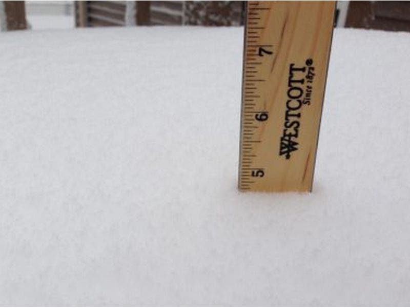
However, most of the western half of the state will now see 2-4 inches of snow Saturday and areas east of Hartford and New Haven will see 4-8 inches of snow now, Hanrahan said.
“This is going to cause some problems,” Hanrahan said on his live video. “This is more than we expected. It’s a substantial change in the forecast.”
Hanrahan said because the temps are so cold the snow will be fluffy and pile up quickly.
During his video, which you can see below, Hanrahan pinpointed some anticipated snow totals for areas all across the state. In the Danbury area, just a couple of inches of snow, but by Mohegan Sun possibly six inches of snow.
The Hartford and New Haven area are right on the line of 2-4 or 4-8 inches of snow and Hanrahan said 3-4 inches is likely for both major cities. The Tolland and Glastonbury area is in the 4-8 inch range, the meteorologist said.
Timing of Saturday’s Snow
Again, it looks like a quiet Saturday morning. Snow develops from west to east around noon and increases in intensity in the afternoon and evening hours. The snow should wind down by late Saturday night.
Sunday is dry and cool with temps in the 20s. On the good news side, no snow is in the forecast through at least next Thursday and we hit 50 degrees on Wednesday, but you guessed it, rain is on the way.
Get more local news delivered straight to your inbox. Sign up for free Patch newsletters and alerts.